Exploring landscapes, routes, and outdoor technology
Walking routes, places to explore, navigation resources, and field guidesExplorations
Walks, memorable places, and interesting discoveries from along the trail.
Routes
Detailed route information, GPX downloads and practical planning resources.
Field Guides
Practical guides covering navigation, mapping, outdoor technology and exploration skills.
Recent Explorations
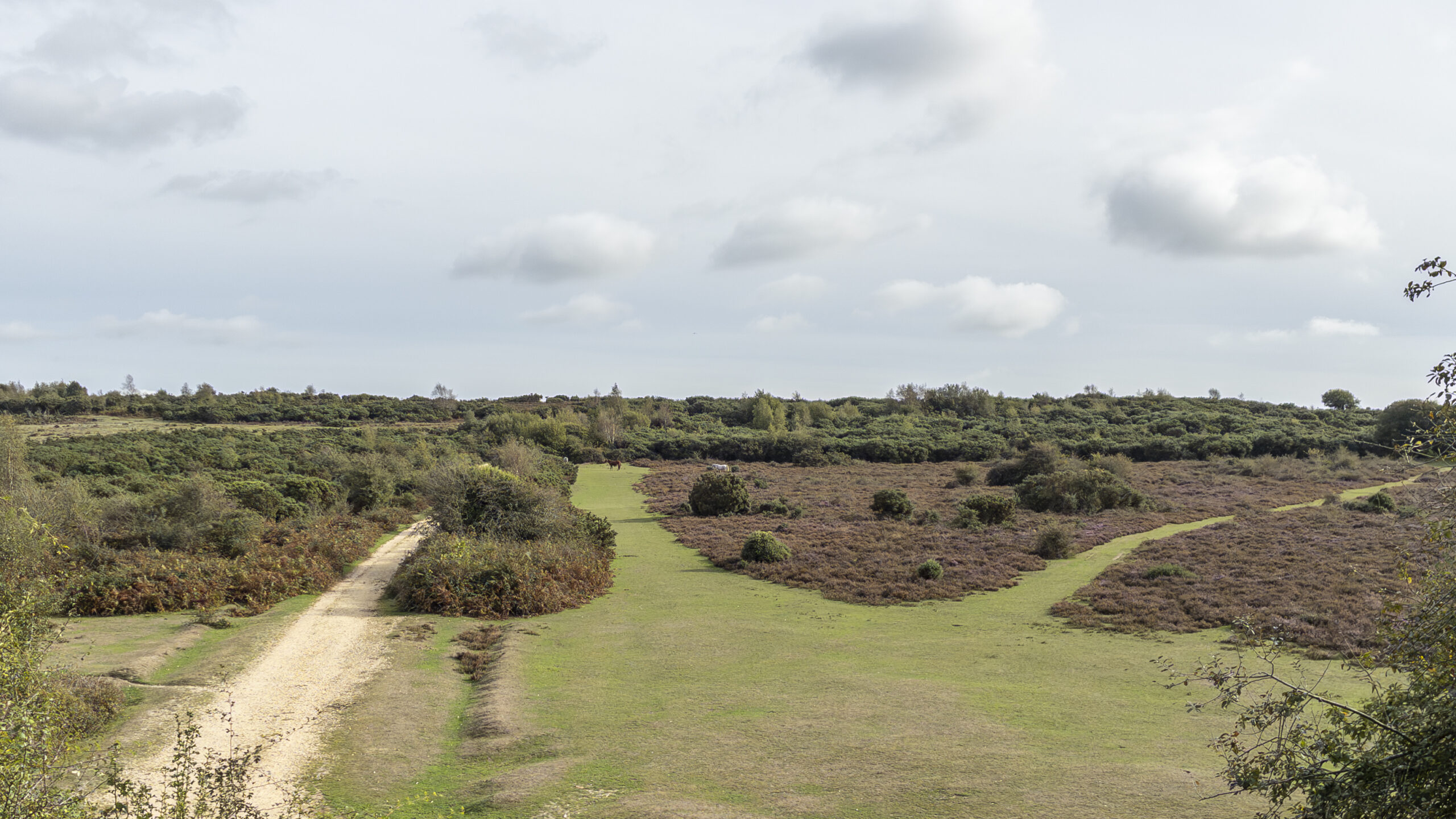
New Forest – Sway
An easy-going walk through woodland, along an old railway embankment and out onto the open heathland of the New Forest.
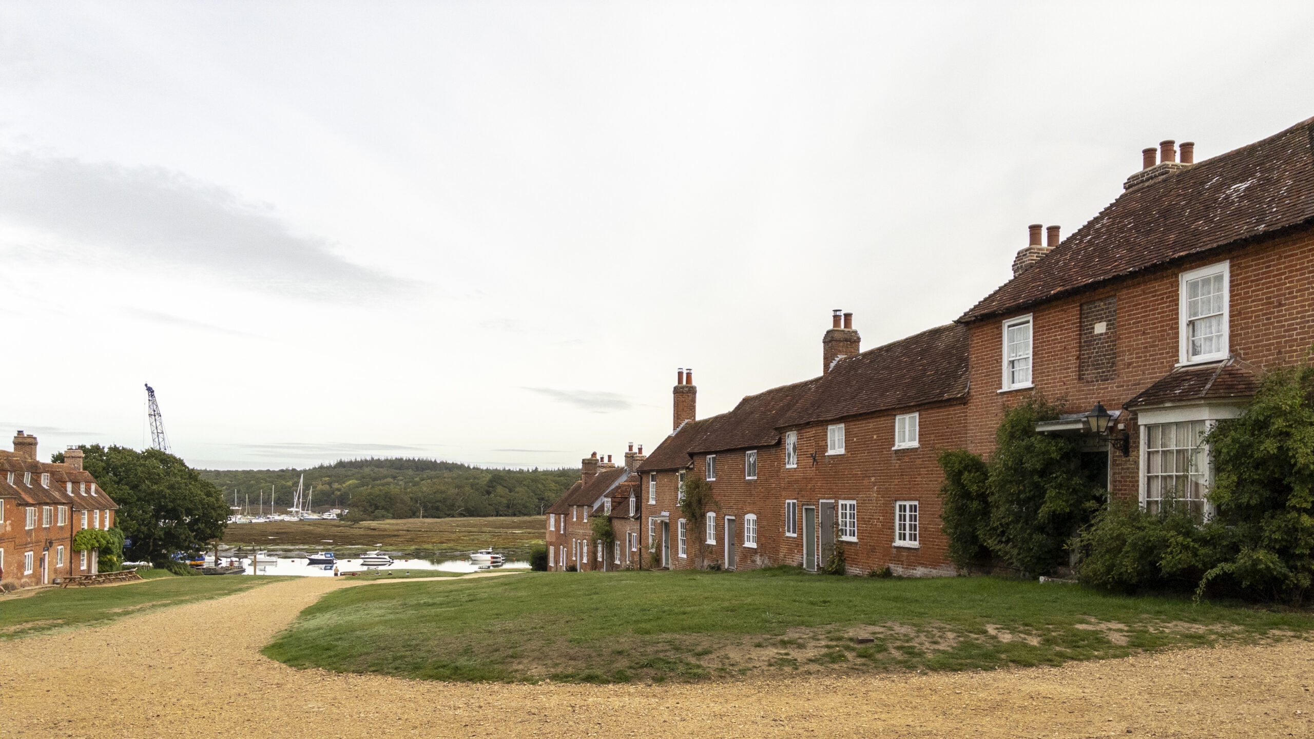
New Forest – Beaulieu to Buckler’s Hard
From the village of Beaulieu to the historic settlement of Buckler’s Hard, this New Forest walk combines woodland paths, estuary views and opportunities to explore the surrounding nature reserves.
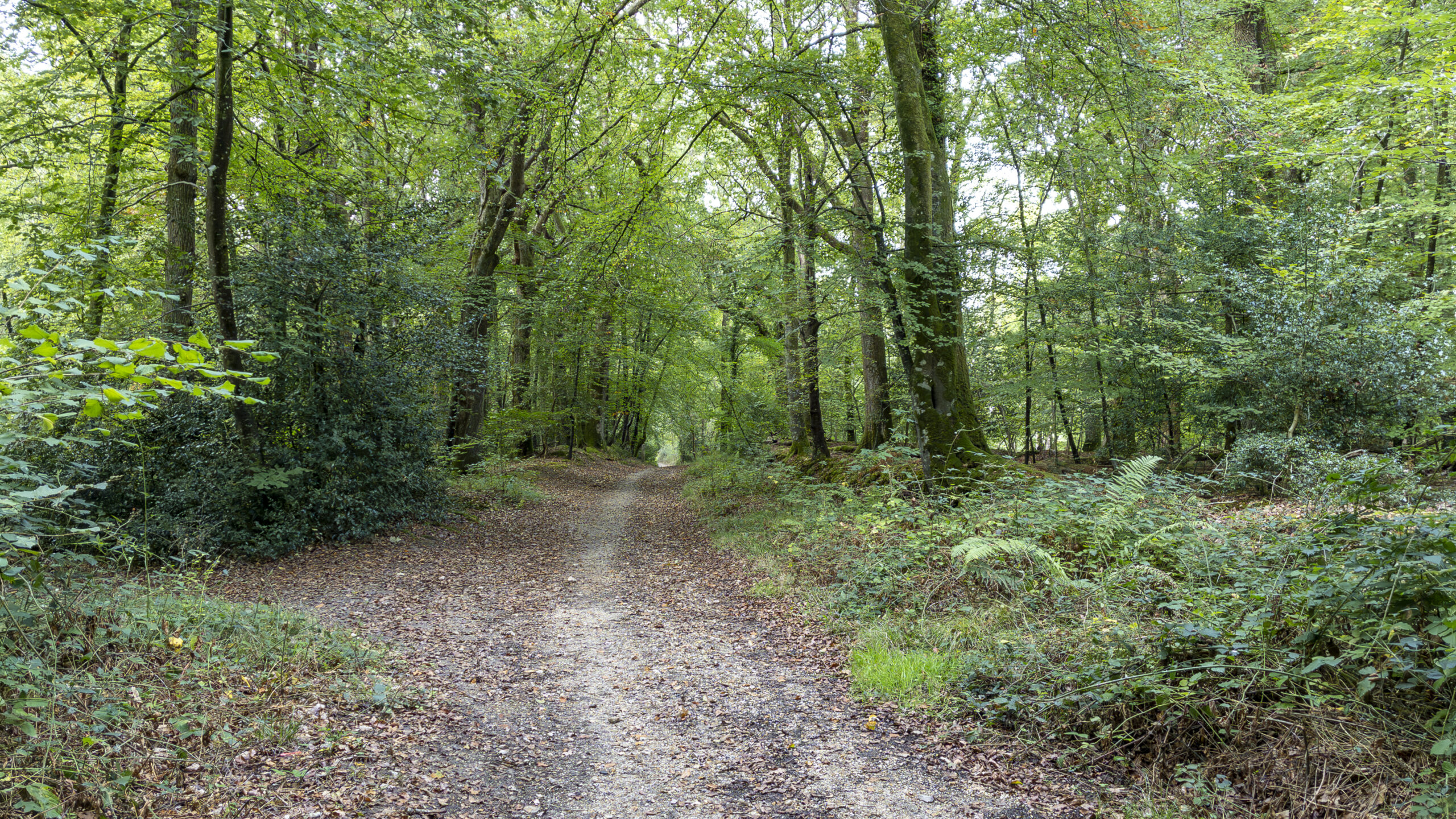
New Forest – Boldre
A 6.25 km circular walk near Boldre in the New Forest, combining farmland, woodland trails and quiet lanes with highlights including Roydon Woods and Calveslease Copse.
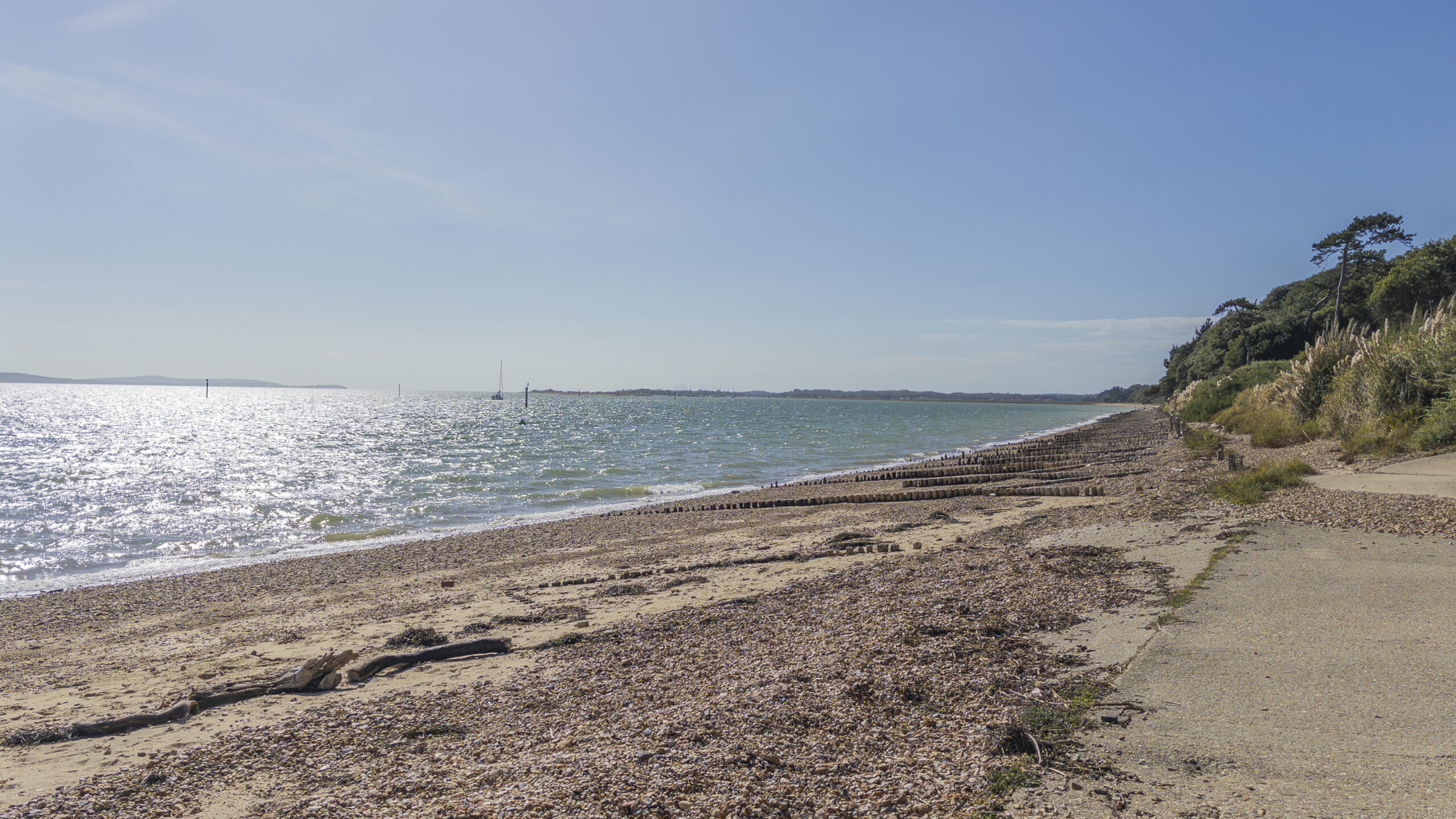
New Forest – Lepe
A varied New Forest walk that moves from shingle beach and Solent views to farmland and woodland, creating one of the most memorable routes.
Recent Field Guides
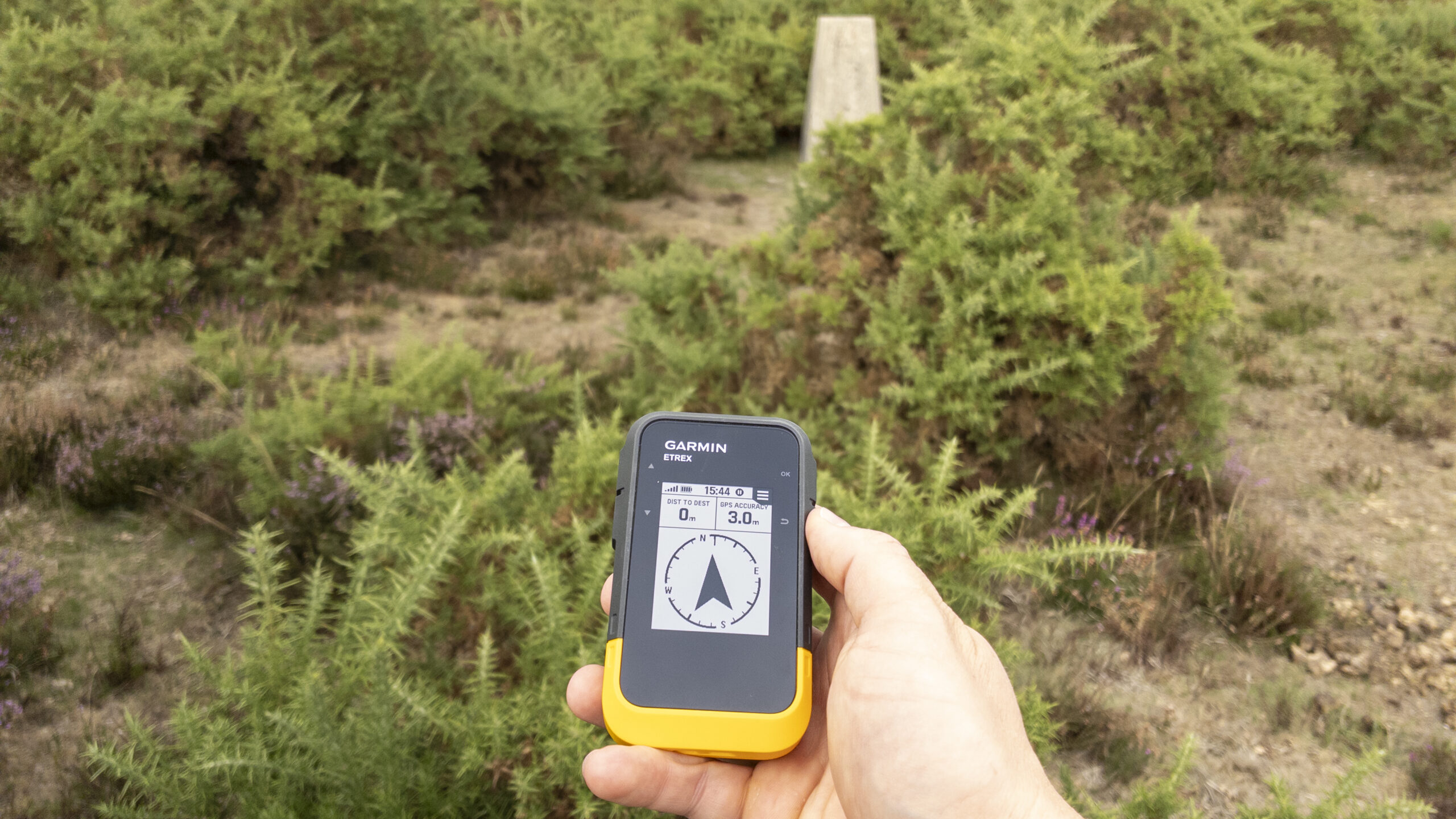
From Grid Reference to Trig Point — Testing GNSS Accuracy
How accurate is a consumer GNSS device when navigating to a precise grid reference? This field test uses the Garmin eTrex SE at Sway trig point to compare a published 10-figure grid reference with the position calculated in the field
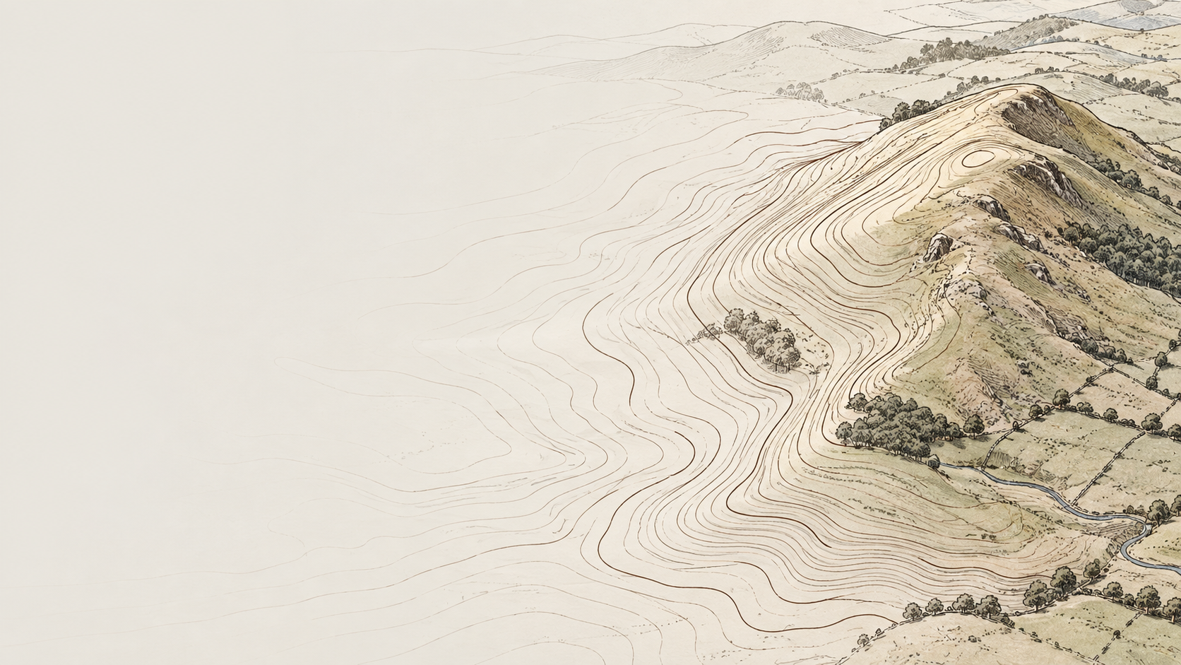
How Contour Lines Show the Shape of the Land
Contours are the language of the landscape. Learn how to read the lines on a map, understand slope and recognise the hills, valleys, ridges and spurs around you.
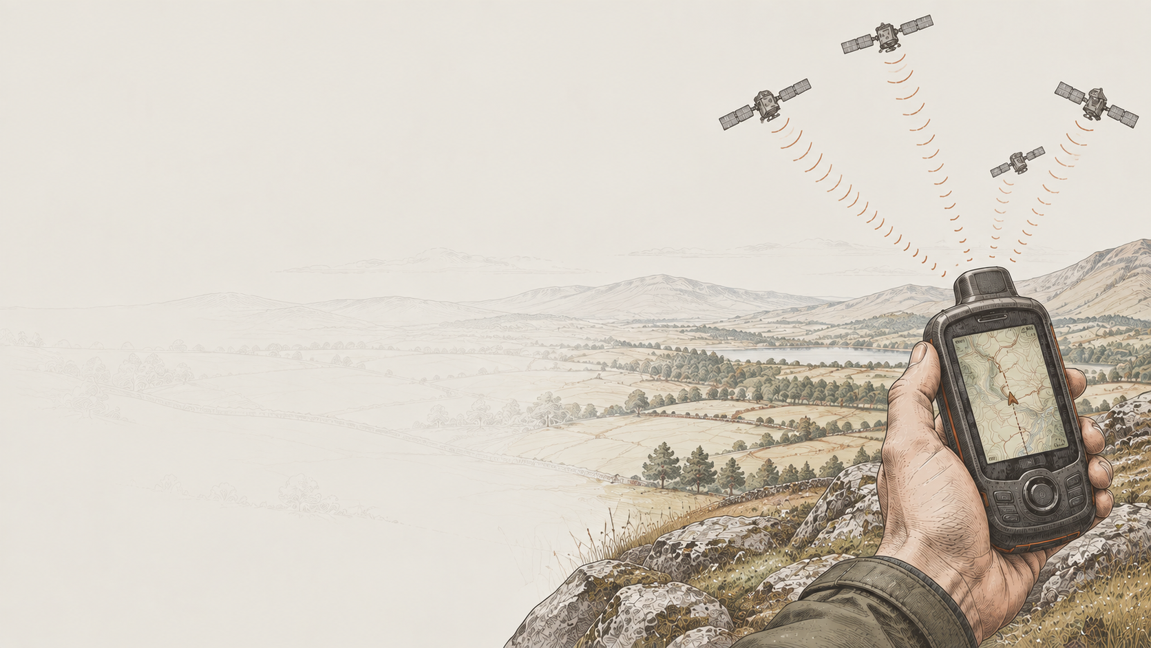
How Satellites Help You Find Your Place in the Landscape
A beginner-friendly guide to how GPS satellites help your receiver calculate its position, from measuring signal travel time to combining distances from several satellites and turning the result into a place on the map.
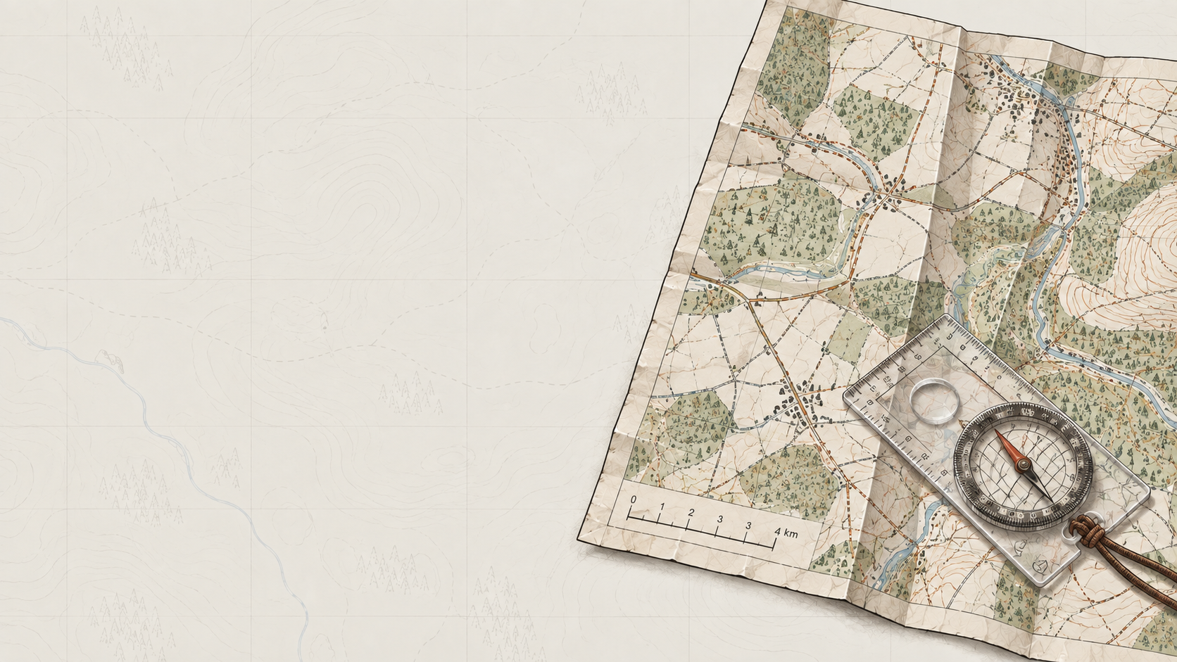
Map Scale in Practice — Distance, Detail and Grid Lines
Map scale changes more than how much ground fits on a page. Learn how 1:25,000 and 1:50,000 maps show distance, grid lines and landscape detail, and when each scale is useful on a walk.