Route Discovery
Sway was the final stop in my exploration of the Short Walks Made Easy: New Forest guidebook, following walks from Beaulieu to Buckler’s Hard and around Boldre earlier in the day. Its location made it a practical choice for completing a loop around the New Forest, keeping the driving between walks to a minimum while introducing me to another part of the area.
Sway offered a different corner of the New Forest to explore, with the prospect of moving between village streets, woodland and open heathland. As the final walk in the guidebook challenge, it was also a chance to round off the New Forest collection while fitting in one last objective. Just a few hundred metres from the published route lay Sway's trig point, providing an ideal opportunity to carry out a separate GNSS field test and investigate whether a handheld device could help locate it using its published grid reference.
Preparation & Route Planning
I followed the route provided in the SWME guidebook, using the OS Maps app on my iPhone to study the route beforehand. This helped me establish how the walk passed through Sway village, where to start and finish, and how the trig point could be incorporated into the outing. The planned starting point was Sway railway station car park, which also made the route a practical option for anyone travelling by train.
Trail Notes
Sway felt quieter than some of the New Forest's better-known visitor destinations, such as Beaulieu and Brockenhurst. At this time of year, the village provided a relatively peaceful starting point, with little of the busier atmosphere that can accompany more tourist-focused locations. The walk begins with a stretch of pavement along residential streets before reaching a bridleway at the end of Adlam's Lane.
At the end of the bridleway, the route reaches the boundary of the New Forest National Park and enters Set Thorns Inclosure. Here, the landscape changes into a familiar woodland setting of wide gravel tracks beneath tall coniferous and deciduous trees. The broad tracks make progress straightforward, although it's worth being aware that this section also follows a traffic-free cycle route, so cyclists are likely to be encountered along the way
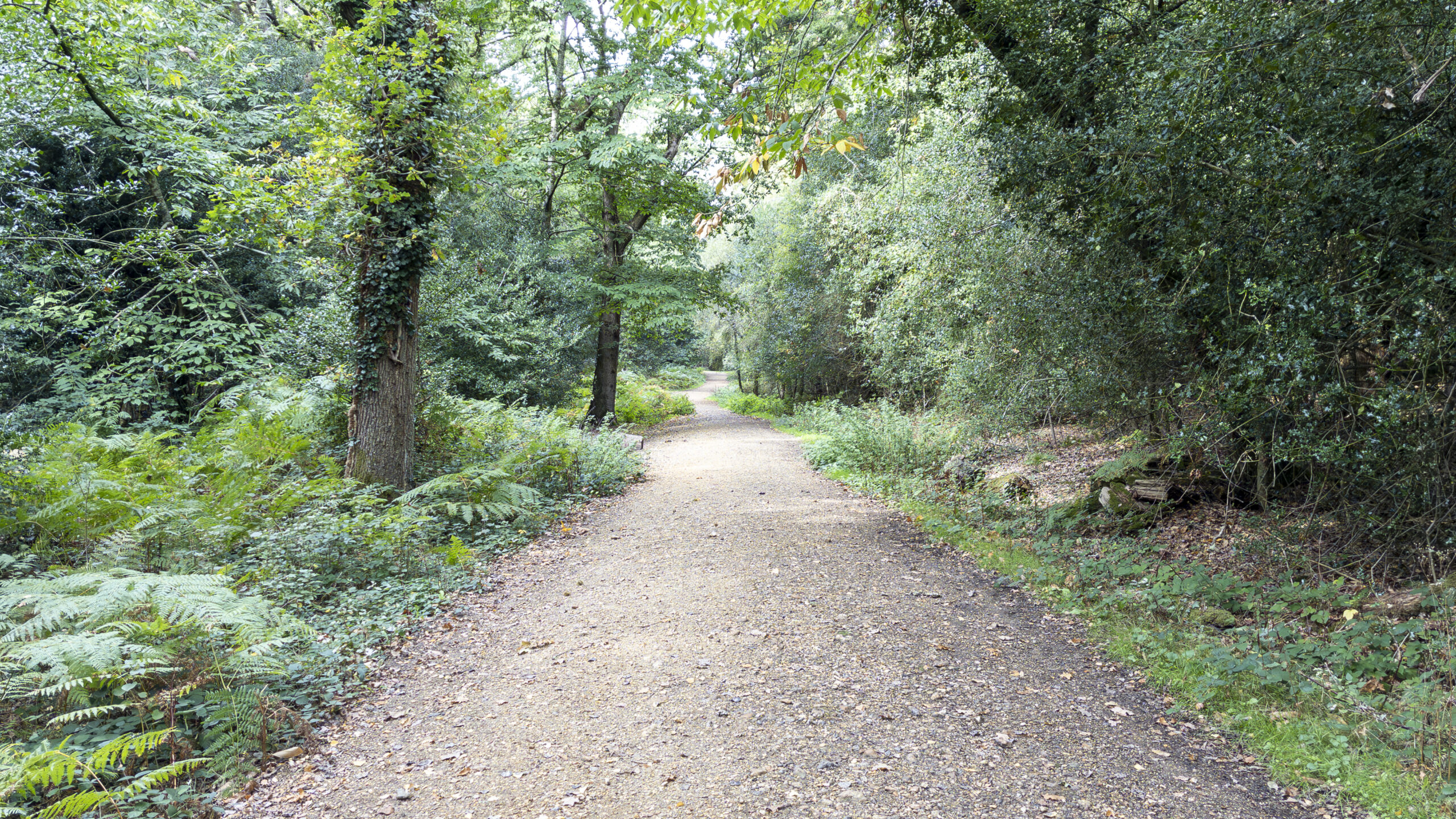
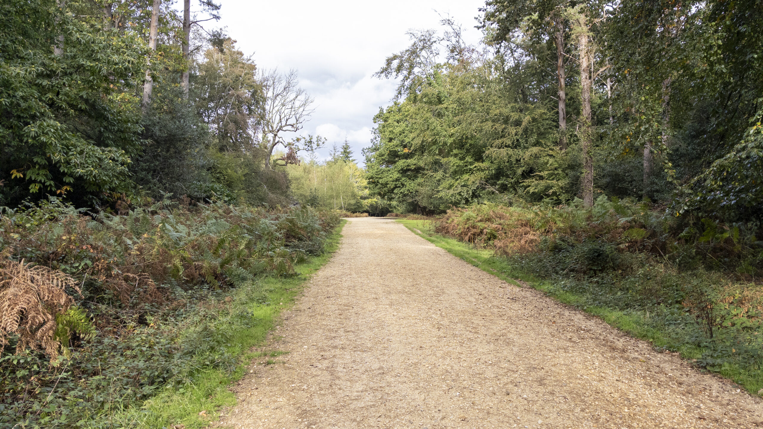
Leaving Set Thorns Inclosure, the route reaches a main road, which you cross to access Long Slade Bottom car park. Beyond the car park, the walk joins a section of the former Southampton and Dorchester Railway. This raised embankment offers a welcome change from the enclosed woodland tracks, opening up views across the surrounding landscape towards Hincheslea Wood and Hincheslea Bog. The old railway is also the main historical feature encountered on the walk, providing a reminder of the area's former transport connections.
After approximately 800 metres along the former railway line, the route turns right and descends gently from the embankment. A slight ascent then leads towards Longslade View car park, where the surrounding landscape opens out with particularly good views in both easterly and westerly directions. This was one of the scenic highlights of the walk and a welcome contrast to the more enclosed woodland earlier in the route.
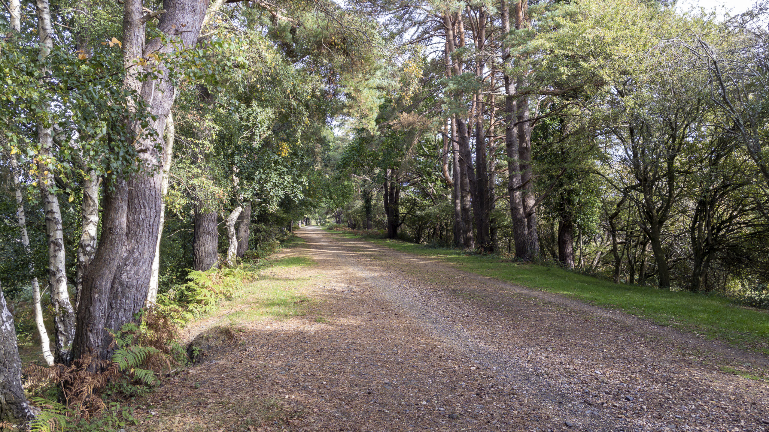
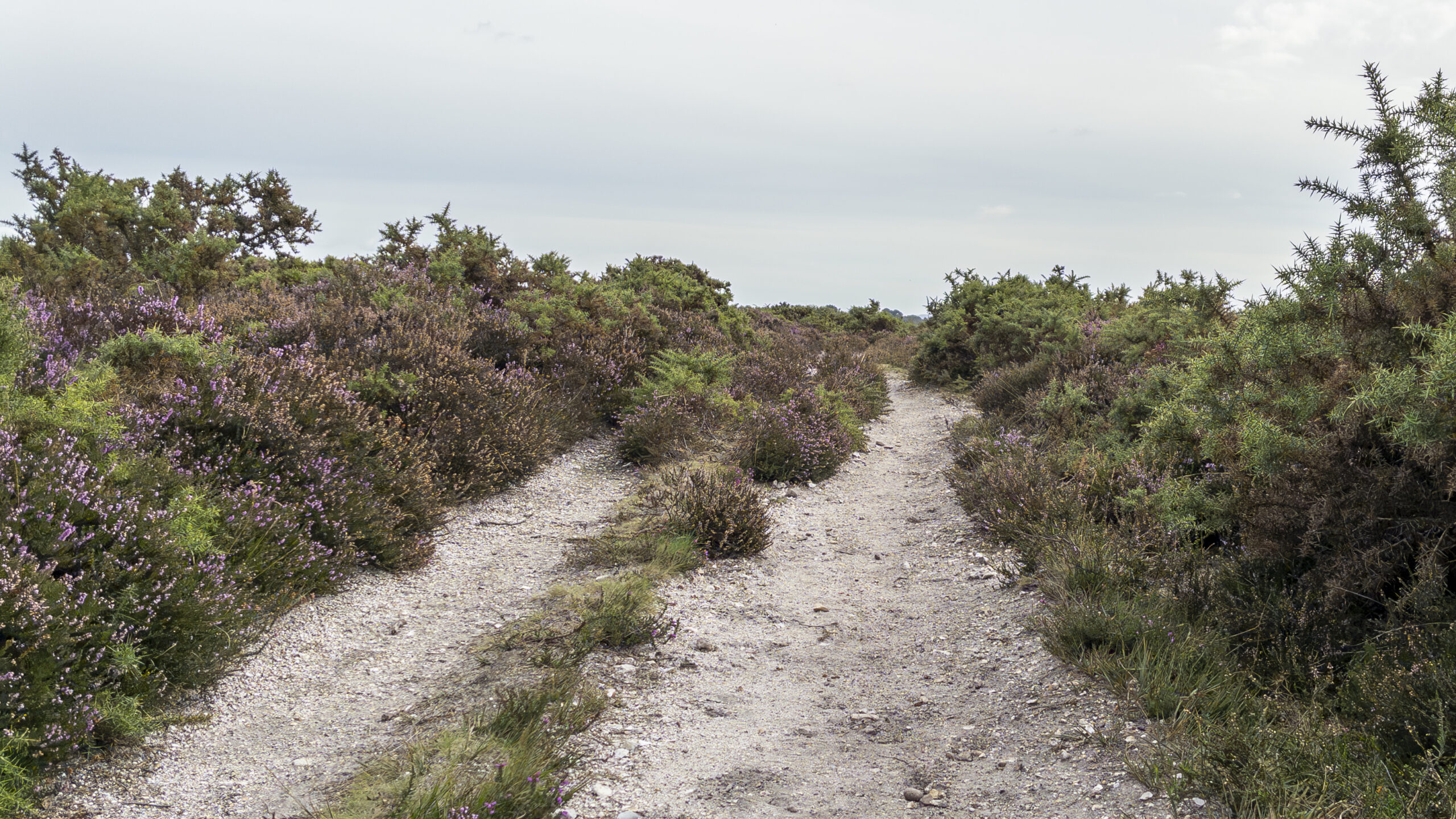
Shortly after Longslade View, I left the published route briefly to carry out my planned GNSS field test at Sway trig point. The test explored whether a GNSS device could help locate a trig point using its published grid reference, providing a practical opportunity to compare the position recorded by the device with the published location. The full methodology and results are covered separately in From Grid Reference to Trig Point — Testing GNSS Accuracy. Once the test was complete, I returned to the published route and continued south-east through the open heathland, where gorse bushes and smaller paths replaced the more enclosed woodland surroundings.
For me, this was one of the most enjoyable parts of the walk. The landscape around Hincheslea Bog and the edges of Blackhamsley Hill has a different character from the earlier woodland sections, with open heathland and plenty of gorse creating a stronger sense of being immersed in the New Forest. There are numerous small paths through this landscape, generally heading in the same direction. Rather than following one broad, clearly defined track beneath a canopy of trees, you find yourself moving through the heath itself, with the surrounding vegetation and open ground becoming the defining features of the experience. This stretch captures much of what I enjoy about walking in the New Forest: the landscape feels less enclosed and more expansive, and the variety of paths gives the route a different character from the earlier gravel tracks.
Eventually, the route meets the railway line between Sway and Brockenhurst, which is crossed via a footbridge. From here, a final section through residential streets leads back to Sway railway station car park. Although the village walking is a noticeable part of the route, it also makes the station a practical starting and finishing point for the walk.
Route Verdict
Sway proved to be an enjoyable and varied short walk, with a good balance between woodland and open heathland. I particularly enjoyed the changing landscape, from the structured gravel tracks of Set Thorns Inclosure to the more open surroundings around Hincheslea Bog and Blackhamsley Hill. The final stretch through the heath was a particular highlight, with its gorse bushes and smaller paths creating a real sense of immersion in the New Forest. Together, these contrasting landscapes give the walk more variety than its relatively short distance might suggest.
There is some residential walking at both ends of the route, but this is a reasonable trade-off for the convenience of starting and finishing at Sway railway station. Those who would prefer to spend less time in the village could consider starting from one of the car parks outside it. The route is easy-going and straightforward to follow, making it suitable for beginners and less-experienced walkers. There are no particular fitness or navigation requirements to consider, although some sections of heathland may become muddy during wetter periods. Overall, it should be suitable for walking throughout much of the year.
I'd happily recommend this route to anyone looking for a relatively short introduction to this part of the New Forest. It combines accessible woodland tracks, an interesting former railway line and open heathland, with enough variation to keep the walk engaging from beginning to end. For me, it was also a fitting way to complete the SWME New Forest guidebook challenge. Having visited a range of locations across the area, I now have a much better starting point for planning my own explorations when I return.
0 Comments