Route Discovery
Minstead was the obvious next step in my journey through the Ordnance Survey Short Walks Made Easy: New Forest book. It is Walk 2 in the collection, following naturally from Fritham, and it was also easy enough to reach by car without turning the day into a major expedition. Beyond that, the area was almost entirely unknown to me. Fritham had provided my first glimpse of this part of the New Forest, but this would be my first visit to Minstead and the surrounding landscape.
A quick look at the OS map suggested that this walk would have a very different character from the first. Fritham had been dominated by broad forest tracks, whereas Minstead appeared to weave together a much wider mix of village lanes, enclosed woodland, open ground and field paths. That variety was part of the attraction, as was the chance to try something new. For this walk, the published GPX route would be loaded onto a Garmin eTrex SE, giving me my first opportunity to see how its simple, map-free navigation worked out on the trail.
Preparation & Route Planning
There was no need to redesign the route. As with the other walks in this series, the plan was to follow the published OS route exactly as presented. The GPX file came directly from the OS Maps route page, after which it was uploaded to Garmin Connect and synced to the eTrex SE using my phone. The process was straightforward, although the real test would come once the neat line shown on the screen had to be matched with paths, lanes and tracks on the ground.
OS Maps remained available on my iPhone as a backup, with the local mapping downloaded for offline use. That extra layer of reassurance felt worthwhile, particularly as the eTrex SE would only show the course line rather than a conventional map with roads, paths and surrounding features.

The route began and ended in Minstead, beside the green near the Trusty Servant Inn. The guidebook provided the basic parking details, while OS Maps and Street View helped fill in the practical gaps. This is not a large formal car park but a small village parking area with room for perhaps 10 to 15 vehicles, based on what I saw. That is enough on a quiet day, although it could easily fill during a busy weekend or at the height of summer.
Nothing else raised any concerns before setting out. No closures or reported path problems appeared in the OS Maps community information, and the route followed public roads and rights of way throughout. The weather had also been dry and settled for several weeks, with the forecast promising another hot, sunny day. Firm ground seemed likely, while the long July evening removed any pressure from the available daylight.
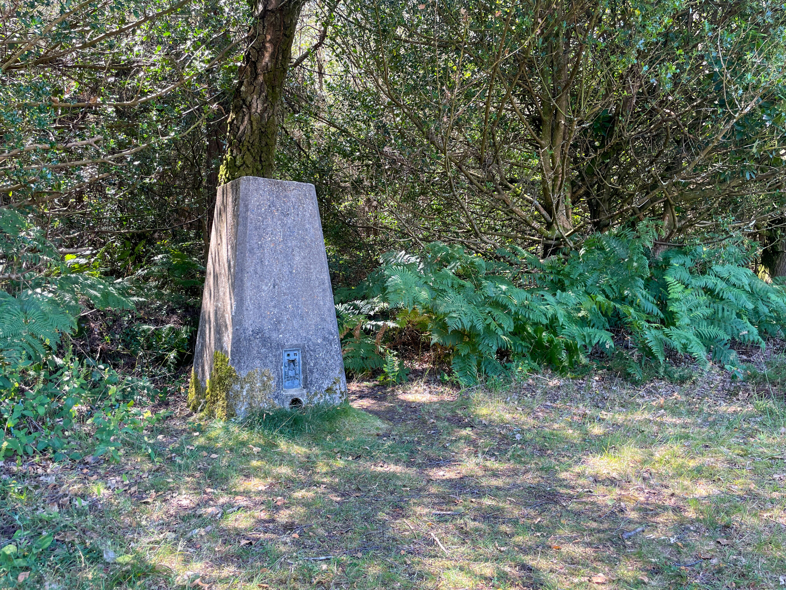
A lightweight setup was all that was needed: shorts, a T-shirt, lightweight walking shoes, a small rucksack and a bottle of water. The route was short enough that food felt unnecessary. One feature did stand out on the map before leaving: the trig point on Hart Hill, TP3650, which I planned to locate during the walk.
Trail Notes
The route eased out of Minstead along a small lane towards the church, but the village setting did not last for long. Beside the church, the way narrowed sharply into a confined footpath squeezed between the boundary and the edge of a field. It made for an unexpectedly intimate beginning, especially after the broad gravel trails of Fritham. Here, the walk felt tucked into the landscape rather than laid openly across it.
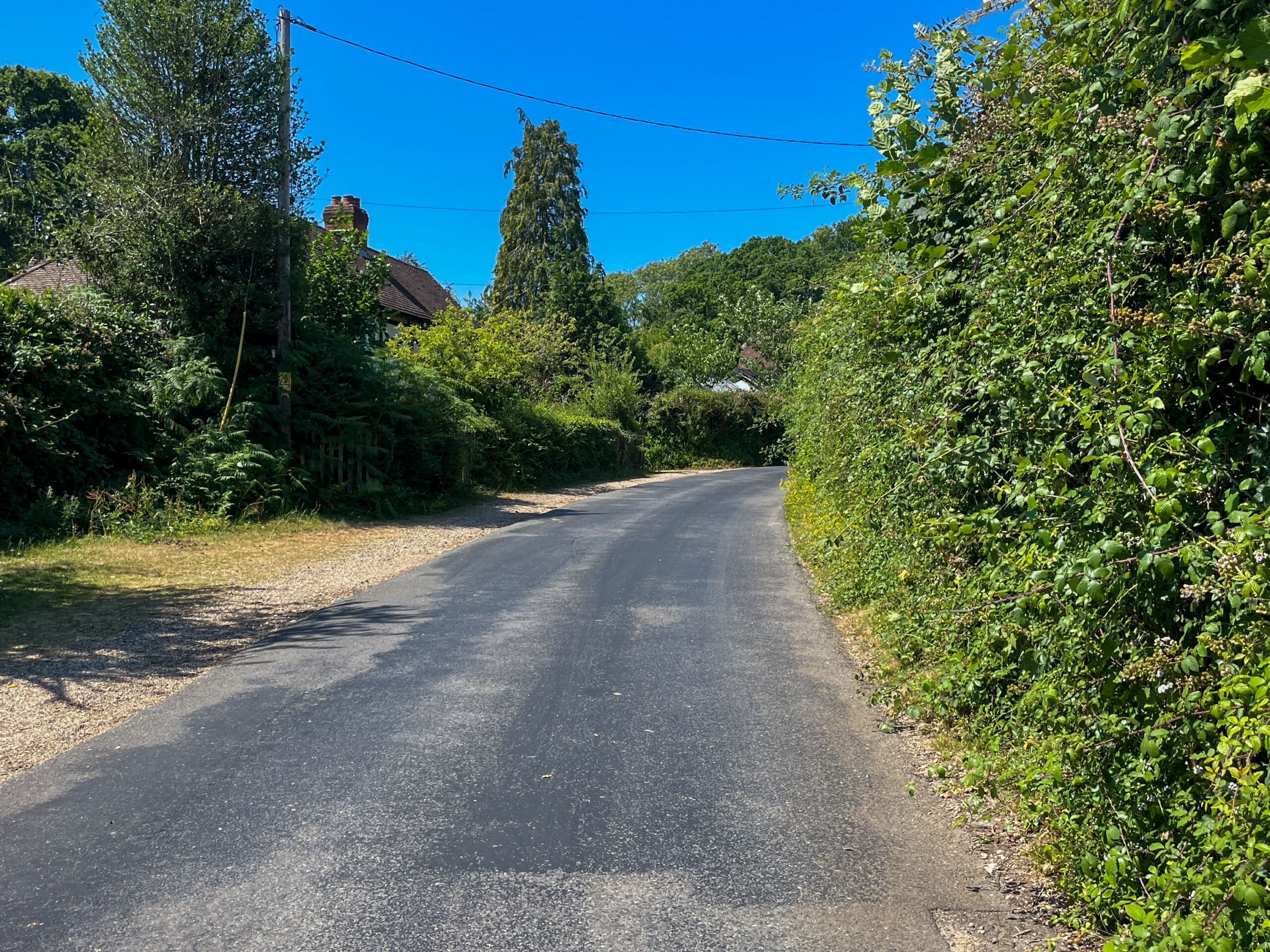
Beyond the church, the route settled into a succession of quiet single-track lanes. Traffic was light, and the road edges often fell away onto dry dirt or shallow verges, leaving just enough room to step aside when a vehicle approached. Even so, these lanes were not merely a short link between better sections. They formed a noticeable part of the walk, and anyone hoping for a route entirely away from roads may find there is more tarmac than expected.
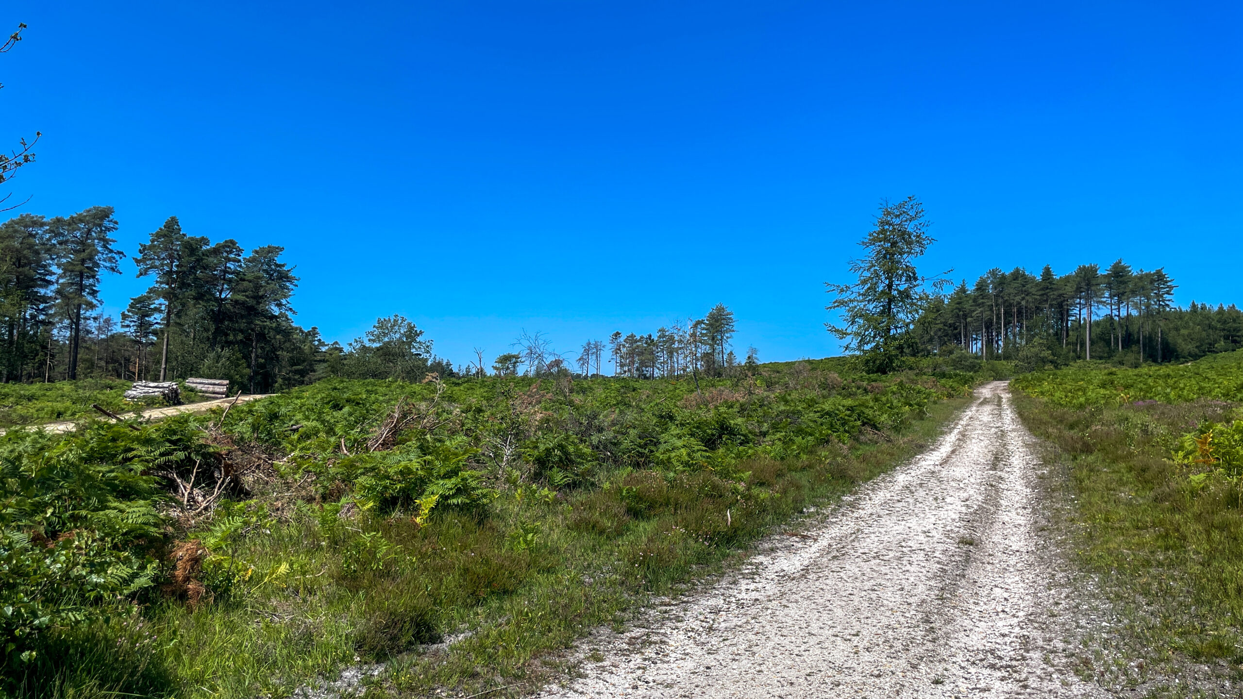
The character shifted again on entering the Forestry England woodland. Tarmac gave way to the familiar pale gravel tracks of the New Forest, with tall trees drawing the route forward beneath a high canopy. These sections felt simple and settled: the tracks were clear, the direction was obvious and the GPX line made sense against what was visible ahead. For a while, the walk moved through exactly the sort of landscape its location promised, before the trees began to thin and the view gradually widened.
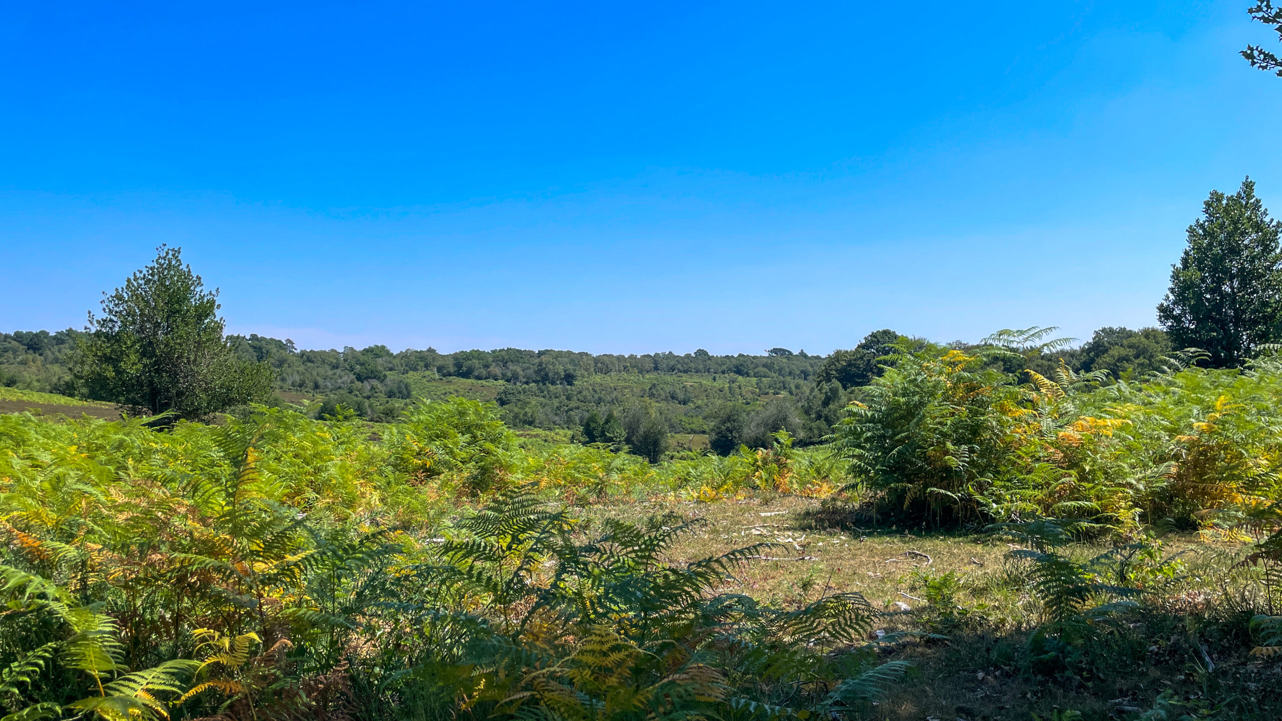
Hart Hill provided the route’s only real climb. At around 200 metres in length, it was more of a steady rise than a serious ascent, but it still created a satisfying change of pace. The reward came at the top, where turning back opened one of the finest views of the walk across the landscape behind. A light summer haze softened the distance, but the clear sky still gave the scene plenty of depth.
The trig point I had been watching for was easier to miss than expected. Rather than standing prominently beside the track, TP3650 was tucked away on the left as I passed a gate. I had almost walked straight past before spotting it, which made finding the feature I had picked out on the map beforehand feel like a small success.
Further on, the route passed through or close to Stonard Wood, where the enclosed forest gave way to broader views across Ringwood Ford. These open areas were among the highlights of the walk. After the lanes and dense trees, the sudden sense of space felt particularly welcome, with smaller tracks spreading across the ground and the distant landscape giving the route a much more expansive character. At this point, the published walk also included an optional out-and-back extension to Rufus Stone. Time was limited on this occasion, so I stayed with the main circuit, although it would make a worthwhile addition for anyone wanting to lengthen the route or include another point of interest.
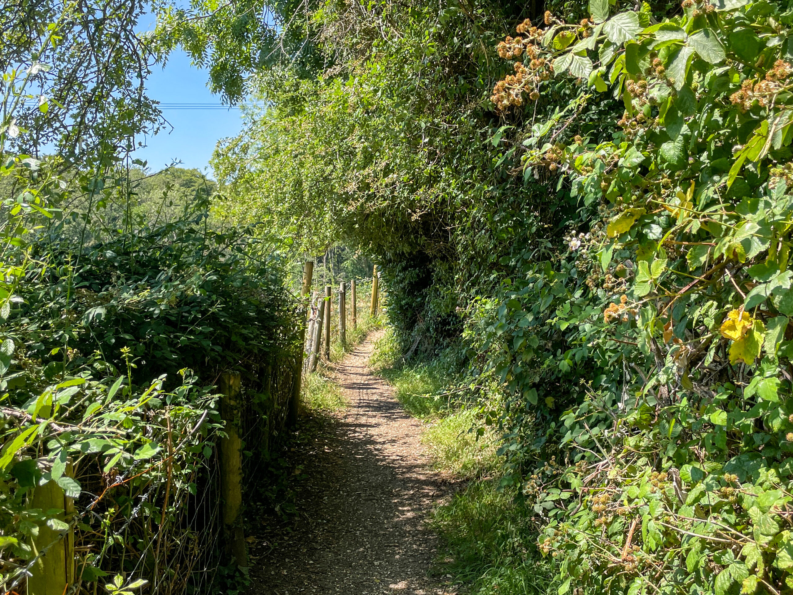
Around King’s Garn, the walk changed again. The route began to thread between smaller properties, farms and more traditional footpaths, exchanging open forest for a more lived-in rural landscape. One of the most memorable sections arrived later, where the route followed an exceptionally narrow path beside someone’s property. Brambles and summer vegetation had pushed into the already limited space, and in places the passage became so tight that walking normally was difficult. One short stretch felt almost narrow enough to require turning sideways. It was not blocked, and the route remained identifiable, but it demanded more care than the rest of the walk.
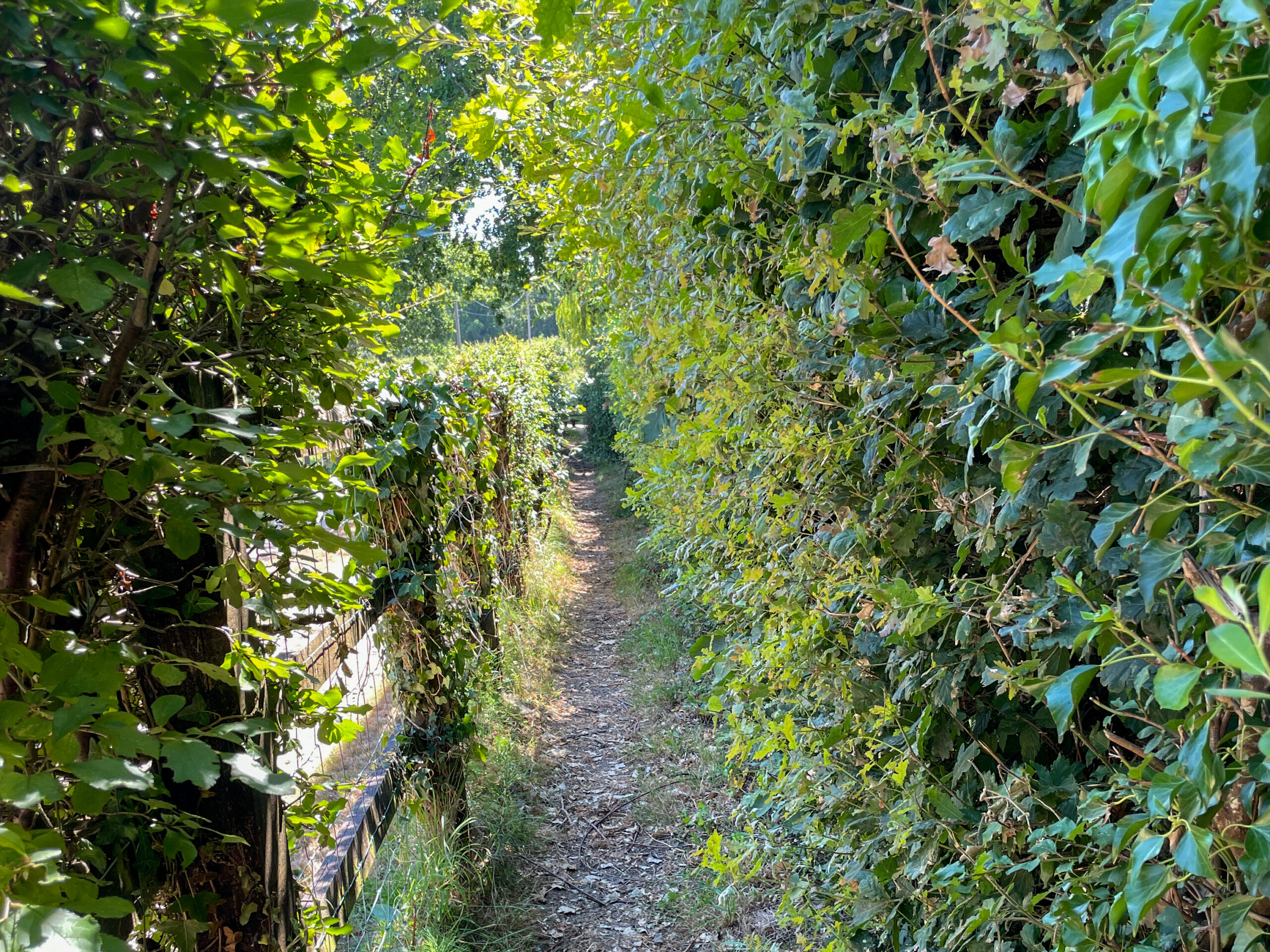
The summer growth also affected parts of the lane walking. Where greenery had encroached onto the road edge, there was less room to move aside from passing vehicles. Traffic remained light, but those stretches still felt more exposed than the quiet forest tracks. Another section entered much denser woodland, where the heavy canopy enclosed the path and noticeably reduced the reliability of the Garmin’s GPS position. The atmosphere was appealing, but the navigation became less certain.
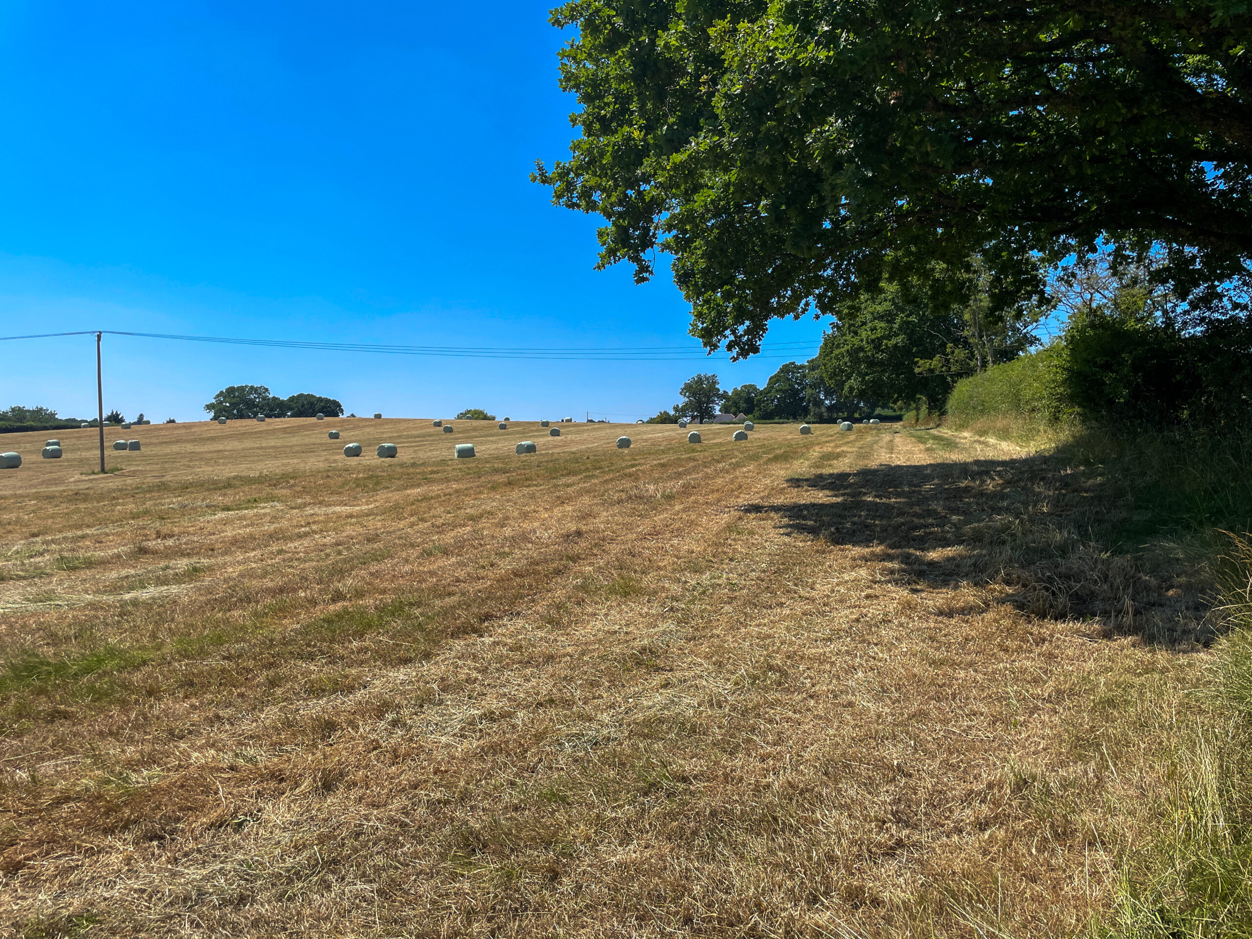
From there, the route returned to woodland tracks before emerging beside an open field that appeared to have been recently cut for hay. After weeks of warm weather, the ground was completely dry and easy to cross. Furzey Gardens also lies along the way, creating another opportunity to turn a short walk into a fuller day in and around Minstead.
OS suggests allowing around two and a half hours for the route. My walk took closer to two hours, including brief pauses for photographs but no extended rest stops. Physically, it was a relaxed outing. Hart Hill provided the only notable rise, and even that was gentle. The main considerations were the changing surfaces, the narrow footpath and the amount of lane walking rather than the distance or ascent.
Navigation & Tech in the Field
The Minstead route was the first real field test of the Garmin eTrex SE with a published GPX course. Unlike a conventional handheld mapping device, the eTrex SE does not display an underlying map. The screen presents the route as a simple line, leaving the walker to interpret how that line relates to the landscape ahead.
At its best, this simplicity was refreshing. There was no detailed map demanding constant attention, and a quick glance at the device gave the general direction while leaving more time to look up, watch the trail and engage with the surroundings. Navigation became a small puzzle in its own right: study the line, study the ground and decide how the two connected. That sense of discovery worked particularly well when the route was obvious. Along the main forest gravel tracks, there was little ambiguity because the line pointed ahead, the track was clearly visible and both told the same story.
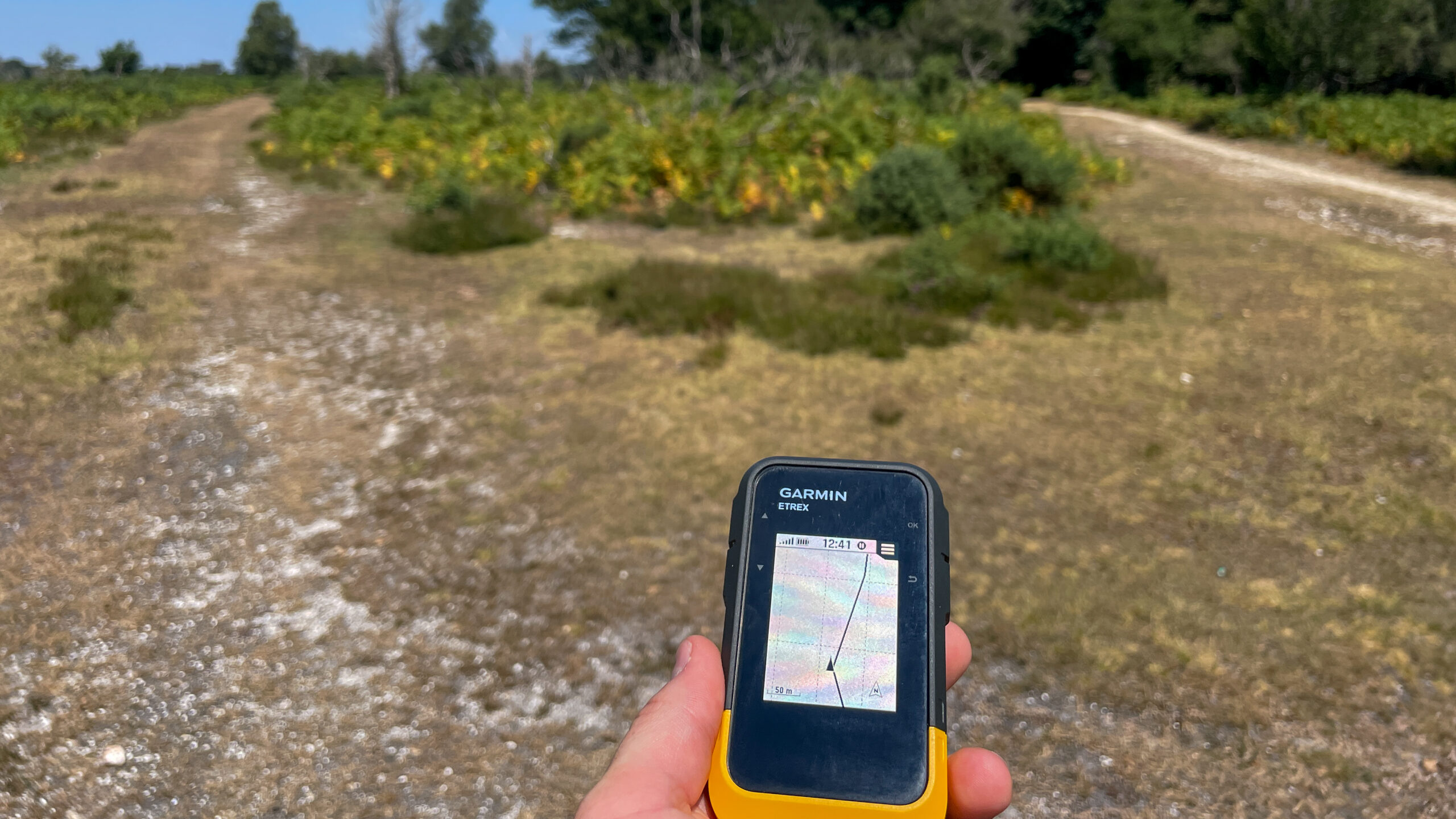
The limitations appeared where the landscape offered more than one possible interpretation. Leaving Minstead towards Newtown, the position marker and route line seemed slightly out of step. Without roads, boundaries or footpaths shown around it, the screen offered no clues as to whether I was on the intended route or merely following a nearby path. A similar question arose where the route looped back towards Minstead across a field. The GPX line appeared to head across the edge, but a line alone cannot confirm that a public right of way actually exists there. On that occasion, I opened OS Maps on the iPhone to make sure the path was genuine before continuing.
That moment captured the weakness of map-free navigation rather neatly. A GPX line may show where a route is supposed to go, but it does not explain what should be beneath your feet. The most difficult section came beneath dense tree cover later in the walk, where the GPS position became unstable. The displayed line shifted from one side to the other as I moved, making it difficult to judge the correct direction. Walking one way caused the route to swing, while changing direction made it move again.
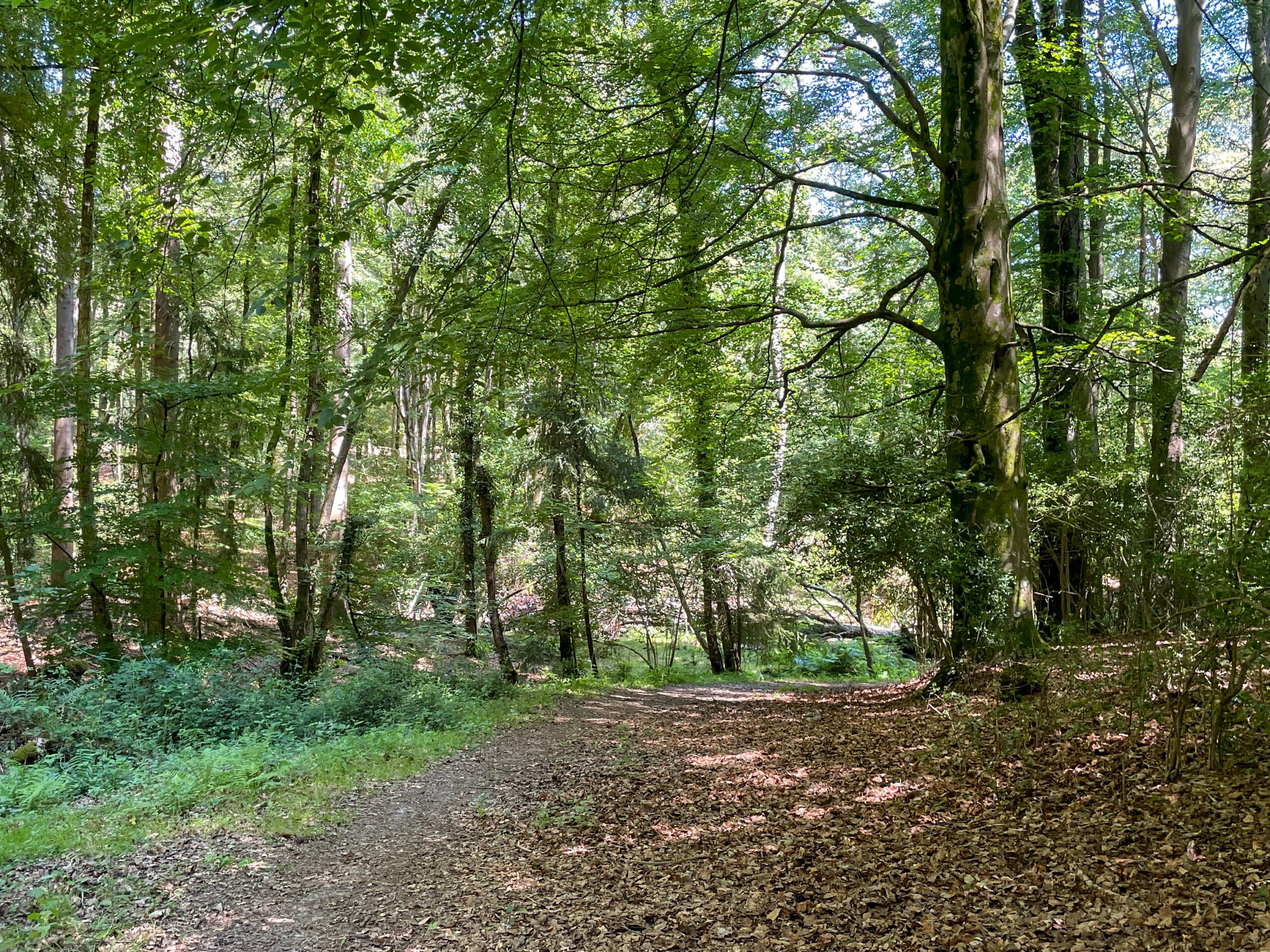
Eventually, the device stopped being the most useful source of information. The better option was to step back, look at the available tracks and use judgement to choose the most likely path. It was a useful reminder that a navigation device can appear precise while still being wrong.
Away from those accuracy problems, the eTrex SE was easy to use. Its always-on screen meant the route was available at a glance, without needing to unlock a phone, find an app or wait for the display to wake up. The physical buttons were tactile, simple to operate with one hand and could be locked to prevent accidental presses while the device was in a pocket.
Battery life was another clear strength. There was no hesitation about checking the device as often as needed because power consumption never felt like a concern. That freedom stood in contrast to the iPhone, where each use carried at least some awareness of the remaining battery.
One smaller frustration appeared before the walk even began. Long GPX filenames were cut off at the edge of the screen, and there seemed to be no way to scroll across and read the full title. With several similarly named routes stored on the device, the only practical solution was to open them one at a time and identify the correct walk from the shape of the course.
Within this walk, the most important lesson was simply that the eTrex SE worked best when its line could be easily matched to a clear route on the ground.
Skills & Takeaways
This walk made the appeal of simple GPX navigation easy to understand. Removing the base map stripped navigation back to its most basic form: a direction, a line and the landscape itself. In the right conditions, that encouraged greater awareness of the surroundings and made the route feel more engaging. At the same time, it exposed the risk of treating digital navigation as unquestionable.
A route line cannot tell you whether the way ahead is a road, a track, a field boundary or a Public Right of Way. Nor can it solve the problem when the GPS position begins to drift beneath dense tree cover. That is where a backup becomes important. The offline OS map on the iPhone provided the detail missing from the eTrex SE, allowing the route to be checked against paths and rights of way. A paper map could offer the same reassurance without relying on another battery-powered device.
The walk also completed the whole GPX process from start to finish: downloading the OS route, adding it to Garmin Connect, syncing it to the eTrex SE and then testing it against real ground conditions. Next time, the route name will be kept shorter so it is easier to identify on the device. Dense woodland will also be treated with more caution, particularly where several tracks meet or the correct path is not immediately clear.
The wider lesson goes beyond this particular Garmin. Electronic navigation is a useful guide, but it is not a substitute for observation, judgement and a reliable alternative.
Route Verdict
Minstead’s greatest strength is the amount of variety packed into a relatively short route. The route moves from a quiet village and churchyard path into single-track lanes, forest enclosures, open views, dense woodland and field edges. It never stays in one setting for too long, and that changing character keeps the walk interesting.
Hart Hill and the open ground around Ringwood Ford provided the visual highlights. Starting and finishing in Minstead also gave the outing a pleasant sense of place, with the Trusty Servant Inn offering an obvious stop for a drink or meal afterwards. Furzey Gardens and the optional extension to Rufus Stone add further possibilities for anyone wanting to make more of the day.
The amount of lane walking is the main drawback. The roads were quiet during my visit, but overgrown edges left limited room in places, and walkers who prefer fully traffic-free routes may find these sections less appealing. Parking also deserves some thought. With only around 10 to 15 spaces available beside the green, arriving early would be sensible during weekends, holidays or other busy periods.
Overall, Minstead offered a broader mixture of landscapes than a walk based entirely on New Forest gravel tracks. The lanes will not suit everyone, but the village setting, changing terrain and open views give the route a character of its own. For me, it was an enjoyable second step through the Short Walks Made Easy collection—and a useful reminder that sometimes the most interesting walks are the ones that refuse to stay in a single type of landscape.
0 Comments