The Brockenhurst walk formed the second part of a full day exploring the New Forest, following on from the earlier route around Burley. In character, it turned out to be nicely balanced, beginning around the station and village before gradually opening out onto heathland and forest. One of the most distinctive sections was the long, straight track across Black Knowl, which runs for around 1½ kilometres before the route turns towards woodland.
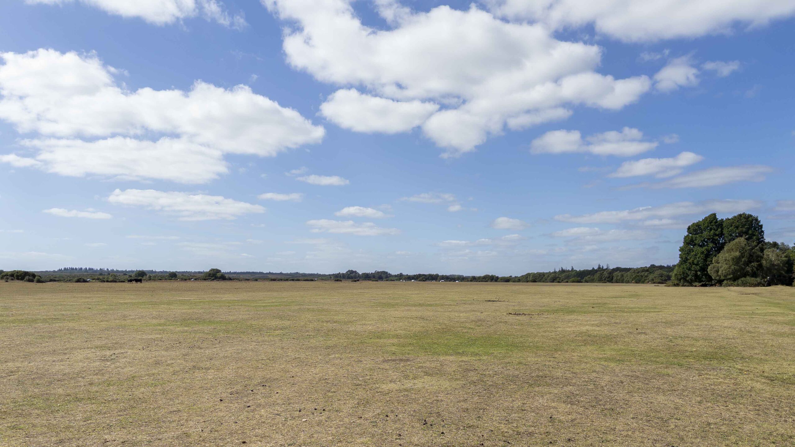
Later, the walk opens out again across White Moor, where the sense of space becomes much stronger. With cafés, pubs and other facilities in Brockenhurst, the route also works well as a walk that can be fitted around lunch or a longer day out.
Route Discovery
Brockenhurst was already familiar in a very limited sense. I had passed through it several times on the train, but had never actually stepped outside the station and explored the village or the surrounding area. Coming here immediately after the morning walk around Burley made it feel like a natural continuation of the day. Rather than travelling to the New Forest for one isolated route, the guidebook was beginning to provide a way of gradually filling in the gaps between places I had previously only known by name.
The layout of this particular walk also caught my attention. It began in the village, included a reasonable amount of road and pavement walking, and then pushed out towards the more open ground beyond. On the map, one feature stood out in particular: an unusually straight path running through Black Knowl. I had no idea why it followed such a direct line, but it immediately became one of the parts of the route I was most interested to see on the ground.
Preparation & Route Planning
Preparation was straightforward. I scanned the QR code in the Short Walks Made Easy guidebook to open the bookmarked route in the OS Maps App, then downloaded the mapping to my phone so it would remain available if mobile signal became unreliable. I also checked the parking location beforehand to confirm that the route did indeed start from the station area, and took a quick look at the surrounding mapping to get a rough sense of the roads and pavements involved at the beginning of the walk.
The physical guidebook also came with me, mainly as a backup. OS Maps on the phone would be the primary navigation tool for the route, and there were no particular junctions or tricky sections that stood out in advance.
Trail Notes
The first small navigation mistake came almost immediately. Brockenhurst station car park has several exits, and I left a little too far to the north-east, emerging into a slightly different part of the village from the intended route. It was a minor detour rather than a real problem. St Saviour’s Church provided an obvious point to aim for, and from there I was able to join the route easily. The unintended deviation also had one benefit: whichever way you leave the station, this part of the walk gives a good opportunity to see more of Brockenhurst itself, with plenty of shops and cafés along the way.
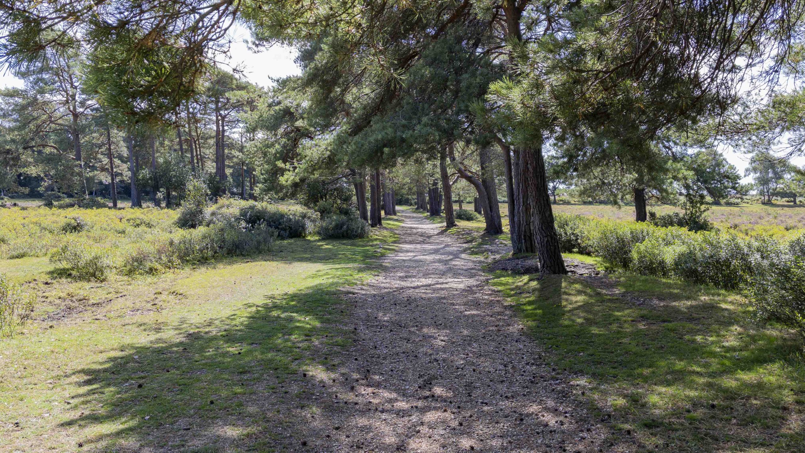
From St Saviour’s Church the route joins Rhinefield Road, and the surroundings begin to change. The road gradually curves away from the more built-up centre, while wider grassy verges between the pavement and carriageway soften the feel of the walk. It remains roadside walking, but already feels more relaxed and more rural. Eventually the roads are left behind completely as the route reaches the broad open area of Black Knowl, where the path becomes strikingly straight and stretches ahead for around 1½ kilometres across the heath.
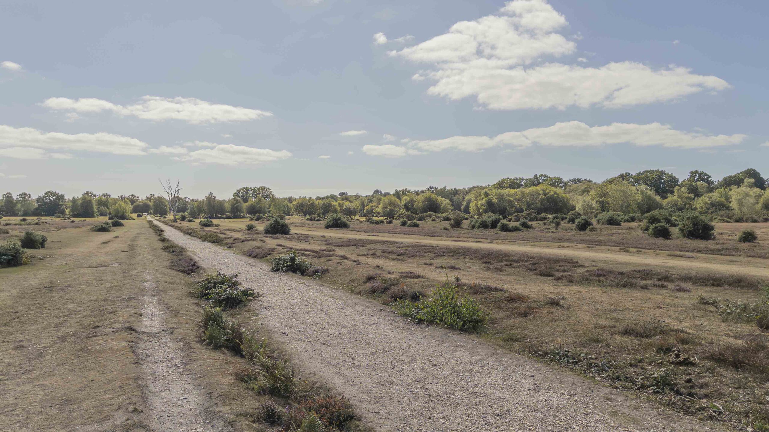
On paper, a long straight track like this could easily sound repetitive, but in practice it never really felt that way. Because it formed one part of a loop rather than an out-and-back route, there was always a sense of progression. The views across the heath helped as well, with silver birch standing out particularly well against the wider surroundings. At the end of the long straight section, the route bears left and joins a cycle route heading south-east before entering woodland for the first time on the walk. The contrast is immediate: after the openness of Black Knowl, the enclosed forest brings a noticeable change in atmosphere and gives the route another distinct shift in character.
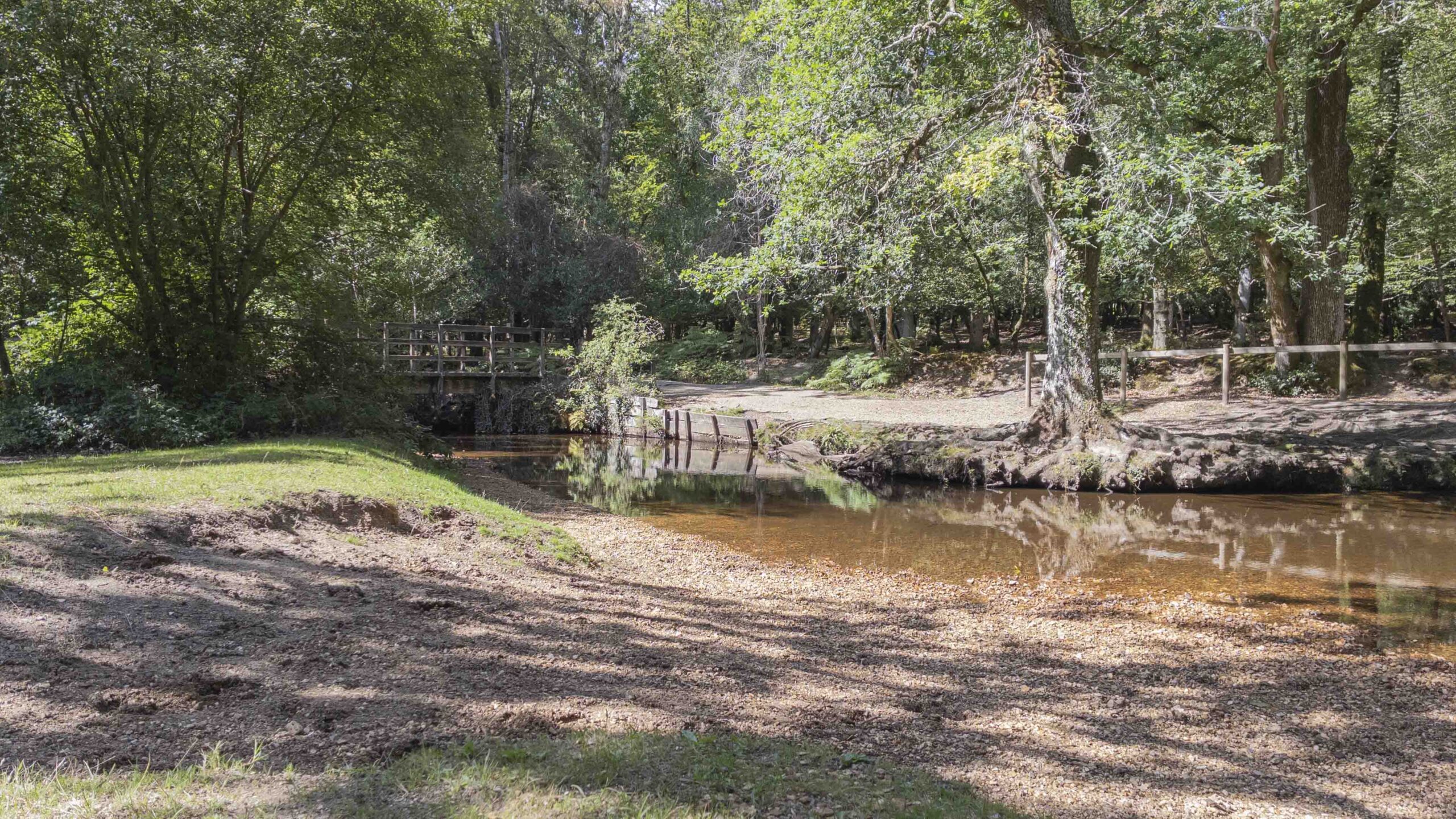
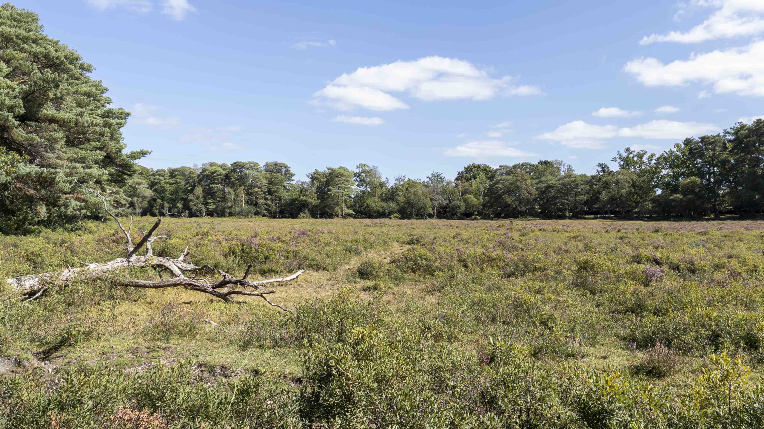
A short section through the trees leads to a footbridge over a stream before the route emerges onto White Moor. This was probably the most memorable part of the walk for me. The moor had a real feeling of expanse to it, and cattle grazing there added to that recognisable New Forest character. From White Moor, the route begins to loop around the residential edge of Brockenhurst, but the views remain open enough that the transition back towards the village feels gradual rather than abrupt. Eventually the route closes the loop and returns to the station and car park.
Navigation & Tech in the Field
OS Maps on my phone worked well throughout the walk, with the downloaded mapping providing a useful backup if signal had dropped. The only point where the mapping felt slightly less intuitive was around Brockenhurst station itself, where the various exits, smaller roads and built-up details made the initial departure a little easier to misread.
It was a useful reminder that a different mapping source, such as OpenStreetMap, can sometimes be easier to interpret in built-up areas where smaller roads, paths and access points are shown in more detail. Once away from the station and onto the main route, however, OS Maps was entirely straightforward to use.
Route Verdict
This was another enjoyable and well-balanced New Forest walk. The combination of village streets, heath and woodland gave the route enough variety that no single section dominated for too long. Black Knowl was particularly interesting, not because anything dramatic happened there, but because the long, straight track had caught my attention on the map beforehand and proved much more enjoyable on the ground than it might first appear.
White Moor provided the strongest sense of space, while the return towards Brockenhurst kept the route practical as well as scenic. Like the earlier Burley walk, one of the strengths here is how easily it can fit into a wider day out. Brockenhurst has cafés, pubs and other facilities close to the route, making it easy to combine the walk with lunch or a stop in the village.
The route also passes close to a large caravan and camping park on the edge of Brockenhurst. For anyone staying there, the walk could work particularly well with the campsite itself acting as a convenient alternative start and finish point. Overall, it was an easy-going route that offered a good introduction to the area without needing to venture particularly far from the village.
0 Comments