Route Discovery
I have driven past the New Forest more times than I can remember, usually with somewhere else in mind and Dorset programmed into the sat nav. The trees would appear beside the road, I would think that I should stop one day, and then carry on driving. This time, I finally stopped.
Fritham was the first walk in the Ordnance Survey Short Walks Made Easy: New Forest guide, and it fitted neatly into my journey south. More importantly, the map showed a route that spent most of its time within the forest. For a first proper New Forest walk, that seemed like a fair place to begin. There was little point choosing a route that merely skirted around the trees.
I knew very little about Fritham before arriving. There had been a quick glance at the map and a look through a few photographs, but no deep research or careful investigation. The aim was to arrive with a rough idea of where I was going and discover the rest on foot.
There are plenty of places I recognise from road signs, maps and journeys elsewhere, but recognising a name is not the same as knowing a place. Fritham offered the chance to get out of the car and find out what one small part of the New Forest was actually like.
Preparation & Route Planning
The map in the guidebook is deliberately simple. It shows the route, paths and car park, but does not provide the full topographic detail of a standard OS map. I could see that much of the walk would pass through woodland, although there was little to suggest how the landscape might change along the way.
A QR code in the book opened the published route online, which I saved in the OS Maps app. That was the full extent of the navigation setup: no paper map and no second navigation device, just an iPhone 12 mini with a power bank in the rucksack as insurance.
Before travelling, I checked the Forestry England car park at Fritham on Google Maps and took a quick look using Street View. Finding the car park was straightforward. Paying to use it became the first problem of the morning.
The car park used RingGo, but my phone had barely any signal. Before the walk could properly begin, I had to wander along the trail trying to find enough reception to pay for the car. It was hardly a wilderness emergency, but it was an irritating example of how cashless parking becomes rather less convenient once dependable mobile coverage disappears.
The weather had been warm and dry for several weeks, with temperatures around 24°C. Setting off at roughly 9 a.m., I expected firm tracks, bright conditions and no real pressure from the clock. The published route was only expected to take around two hours, so the kit remained simple: approximately one and a half litres of water, but no food.
This was not intended to be a demanding day or a serious navigation exercise. The aim was a relaxed walk, a first impression of the area and an opportunity to see whether the New Forest felt different on foot from the brief glimpses caught through the car window.
Trail Notes
Several tracks leave the car park, so the walk began with a brief pause to make sure I had selected the correct one. Once underway, the route settled onto broad gravel tracks that quickly carried me away from the parking area and into the trees.
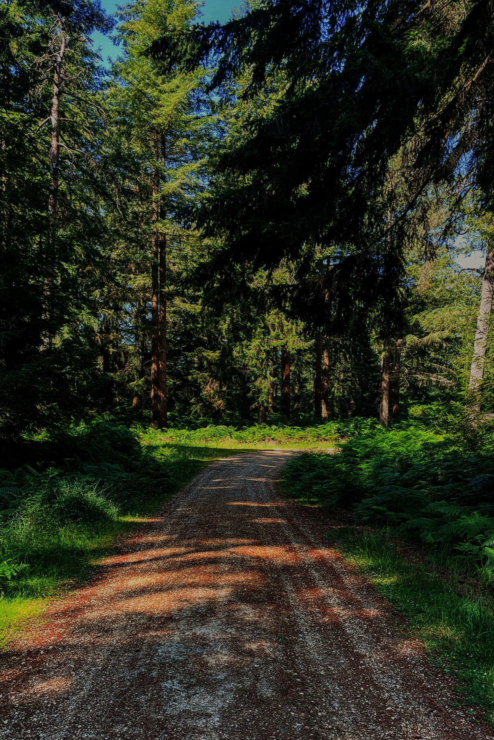
The early section through Gorley Bushes mixed lighter woodland with gorse and small open patches. It felt more like an introduction than the full forest experience, but that changed on entering Island Thornes Inclosure. The trees became denser, the track felt more enclosed and tall pines began to dominate the view.
This was the New Forest I had hoped to find.
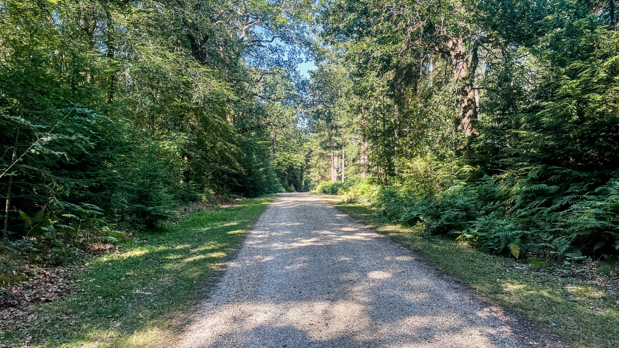
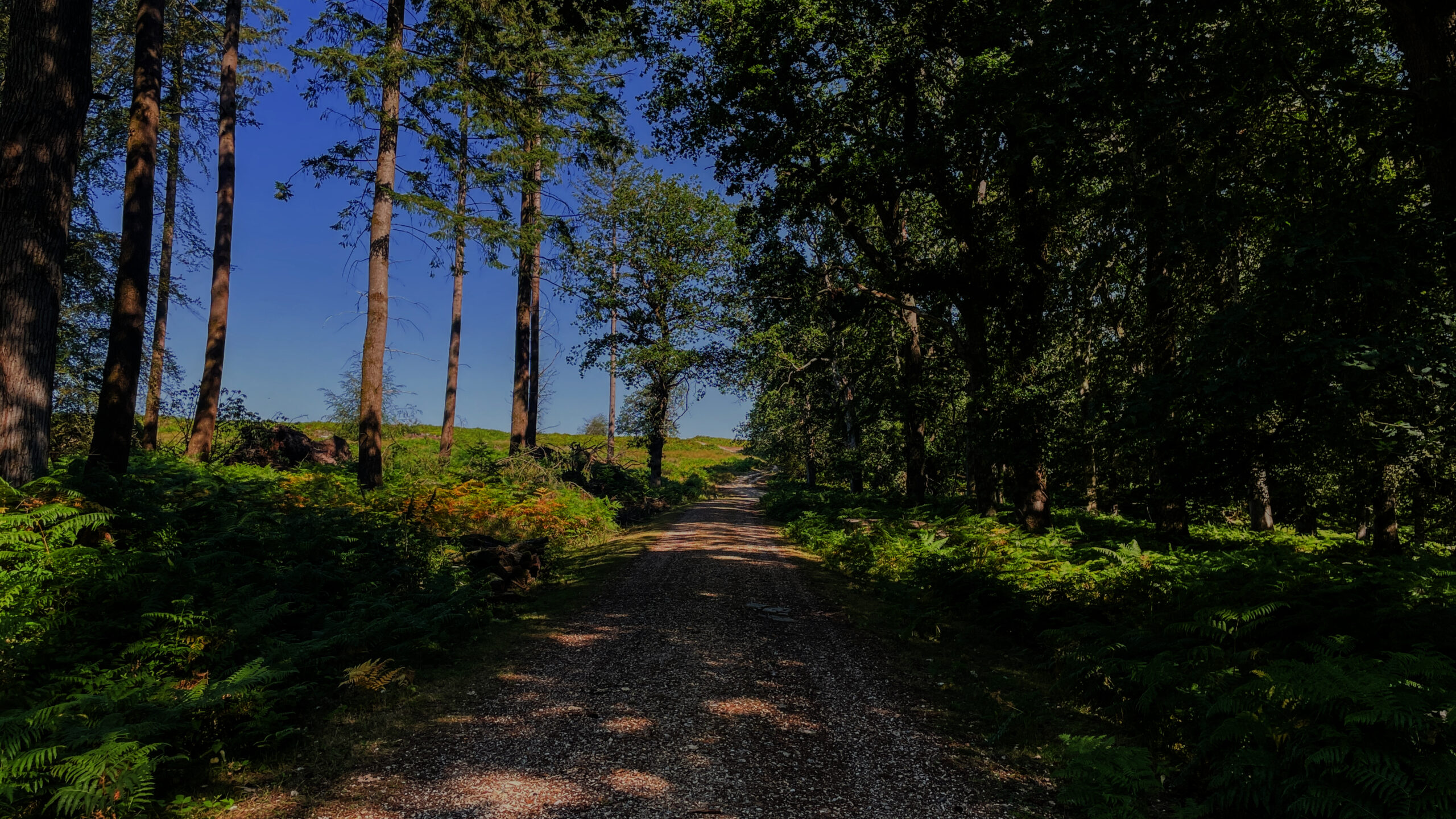
For long stretches, the route continued beneath the canopy along tracks that rose and fell gently through the woodland. It was never a difficult walk, but neither was it completely flat. The surface remained dry and generally easy underfoot, although patches of loose gravel made supportive footwear feel worthwhile.
At times, the forest felt wonderfully calm. At others, the repeating pattern of pines and gravel began to feel familiar. Much will depend on what someone wants from the route. Anyone content to spend hours beneath tall trees should enjoy the immersion, while walkers who need the scenery to change every few minutes may find some stretches repetitive.
The more open areas arrived at useful moments. Around Ashley Cross, the trees gave way to a broader and brighter landscape before the route returned to the forest. After spending so long with the view restricted by trunks and branches, even a relatively short opening felt significant.
One of the most memorable moments was far less dramatic. Looking into a dense area of trees, I saw sunlight forcing its way through small gaps in the canopy. Beams reached the forest floor and picked out patches of green within what would otherwise have been a dark wall of woodland. It was a simple scene, but one that made me stop for longer than expected.
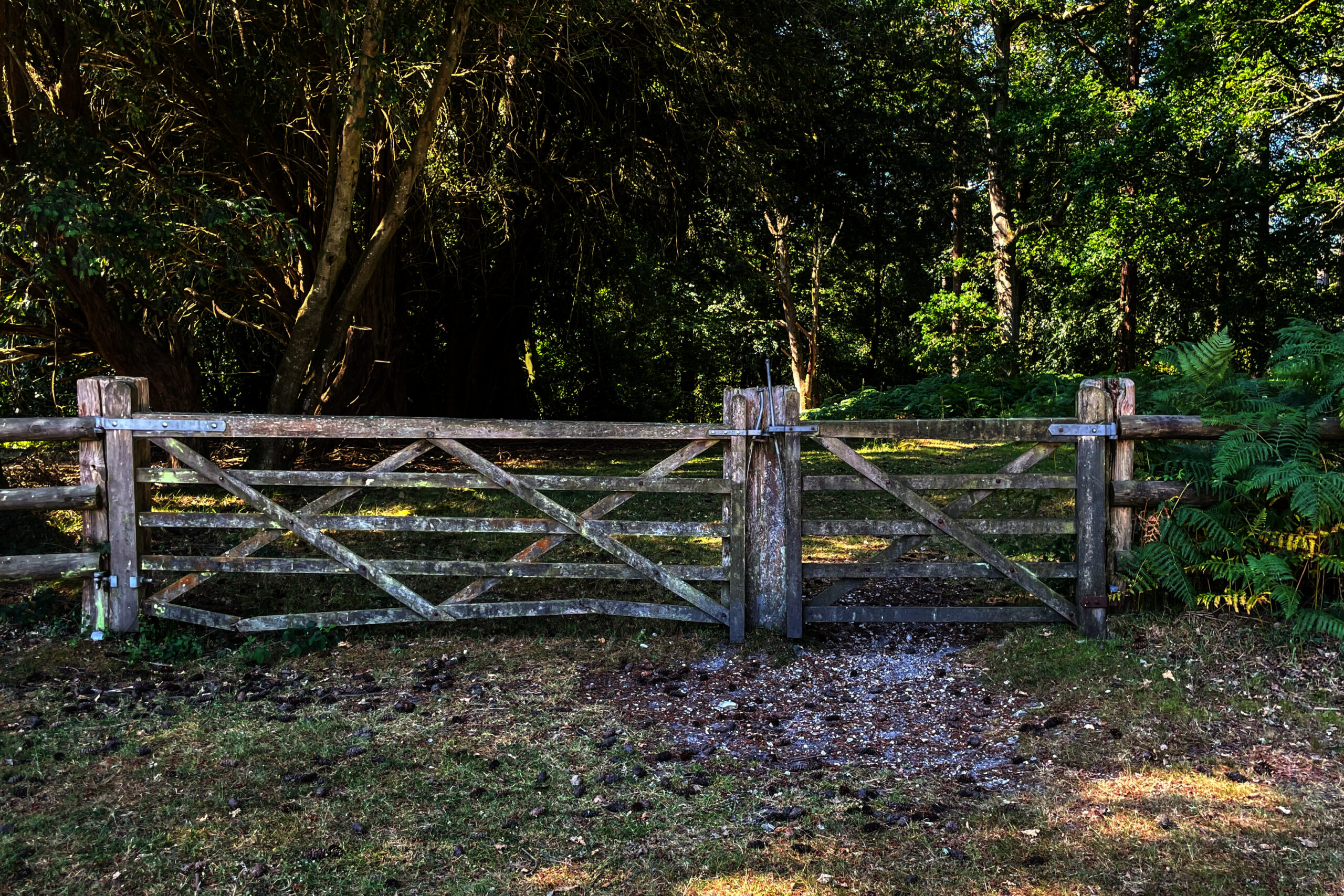
A closed gate provided another classic forest view, with the track stretching away between the trees beyond it. It looked almost like a ready-made New Forest photograph, so naturally it became another place to pause and take a picture.
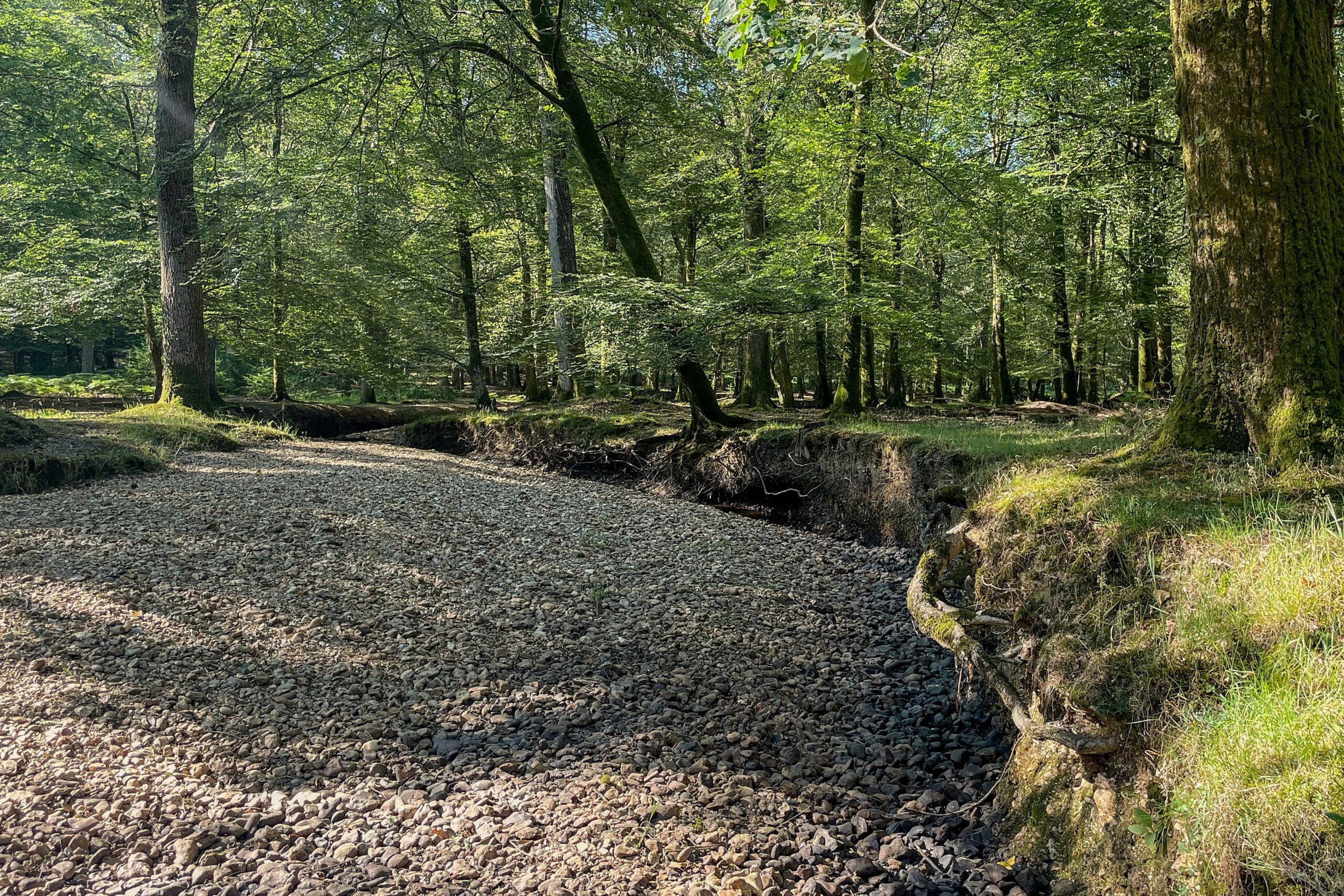
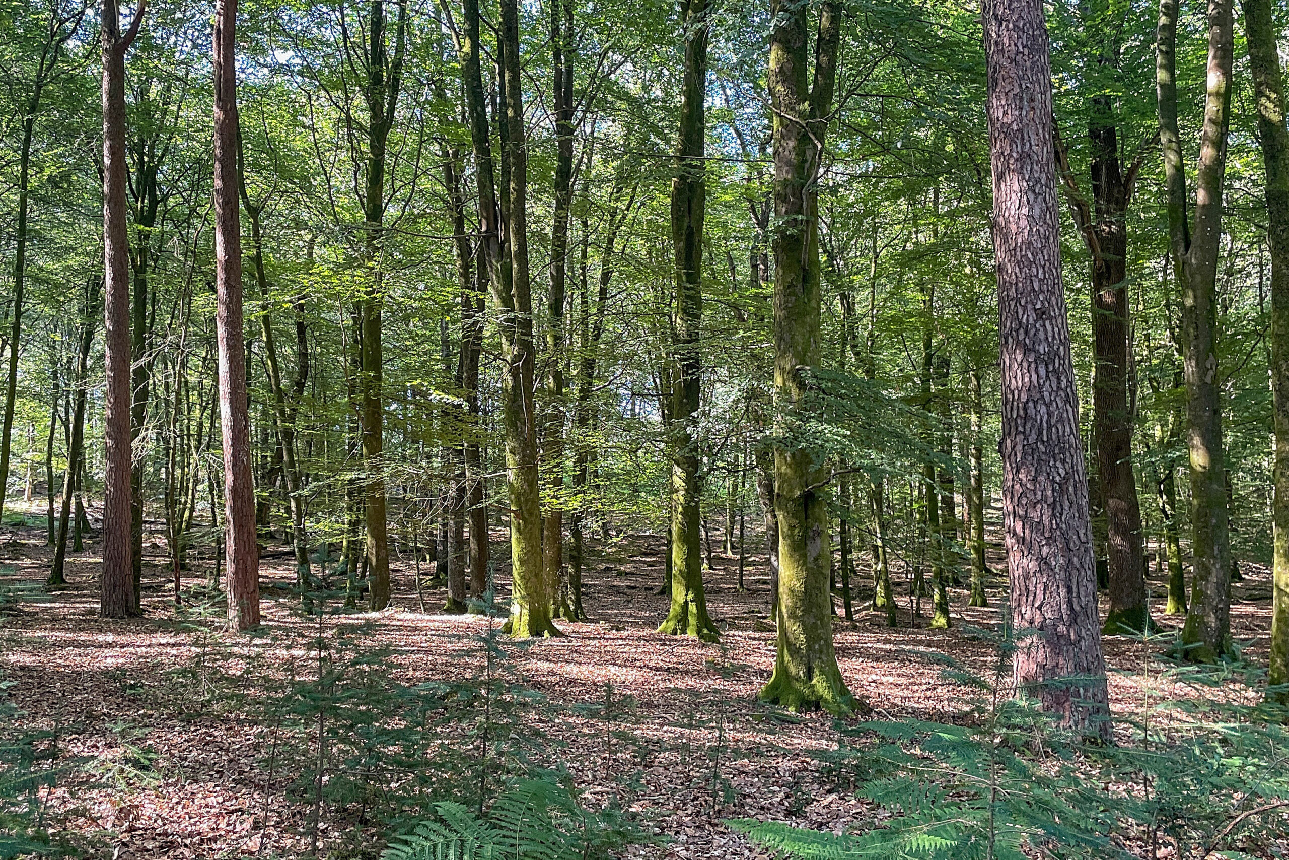
The map had suggested that the walk might include several fords and a brook, but after weeks of dry weather the reality was rather less watery. The brook was almost bone dry, while the expected crossings had become little more than empty channels.
There was something slightly amusing about arriving at a ford and finding virtually nothing to ford, but it also showed how different this route could feel in another season. During winter or after prolonged rain, those dry channels may become proper water crossings, while the gravel tracks could be broken up by puddles and mud.
The only point that caused real uncertainty was a left turn through a gate. It appeared clearly enough on the map, but on the ground the gate looked more like a private forestry entrance than part of the walking route. The main track continued straight ahead and seemed far more inviting, making the correct turn surprisingly easy to overlook.
I had also stepped away from the route to examine something nearby. By the time I returned, the phone had changed orientation and the map was briefly less useful than it should have been. I did not travel far in the wrong direction, but it was a reminder that an obvious track can quickly carry you past a less obvious turning.
That small detour led towards the former Ashley Walk bombing range and its Observation Shelter. The brick structure and nearby information board gave the walk an unexpected historical edge. Surrounded by quiet woodland, it was strange to consider how differently this peaceful landscape had once been used.
Only a short time was spent there, but it was one of the places that made me want to leave the published route and investigate further. The forest suddenly felt like more than scenery. Stories were hidden within it, and this walk had revealed only a small part of them.
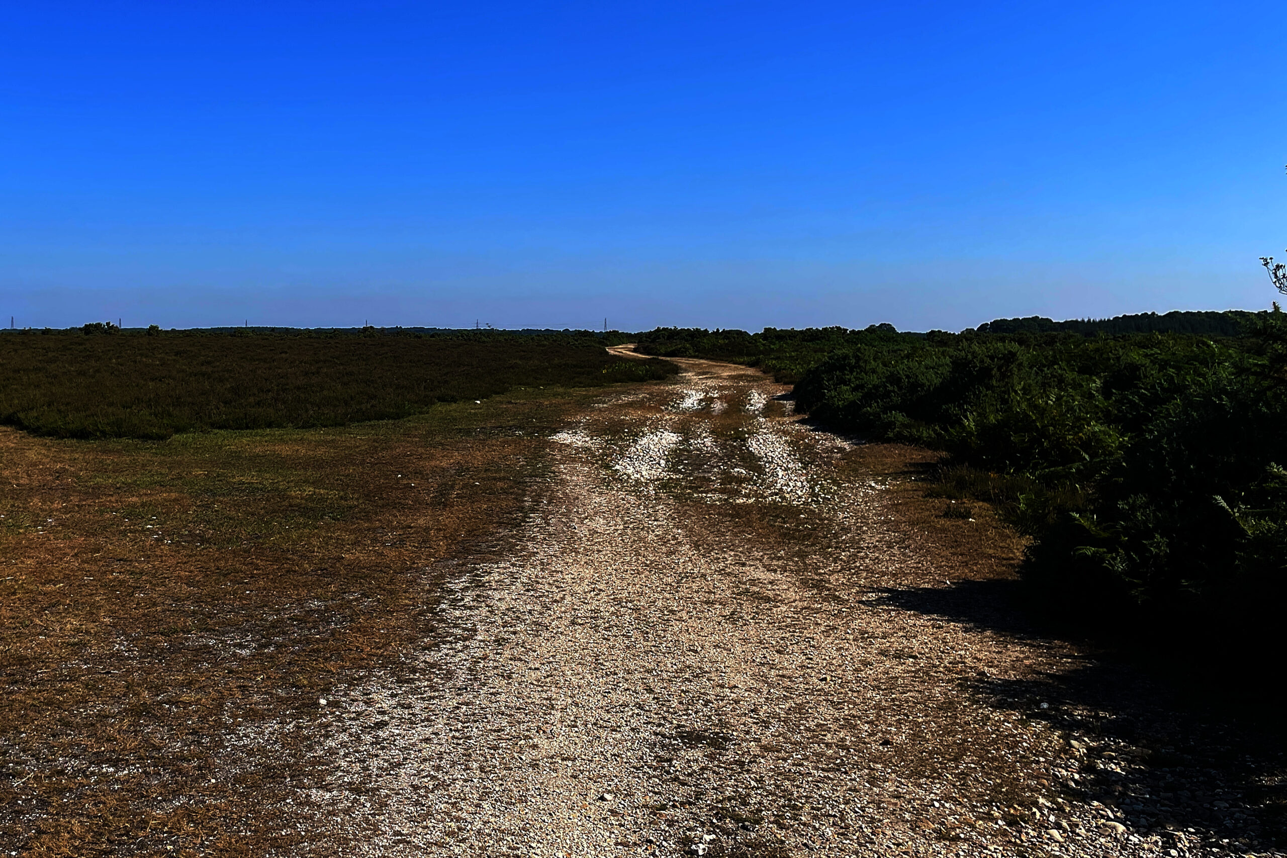
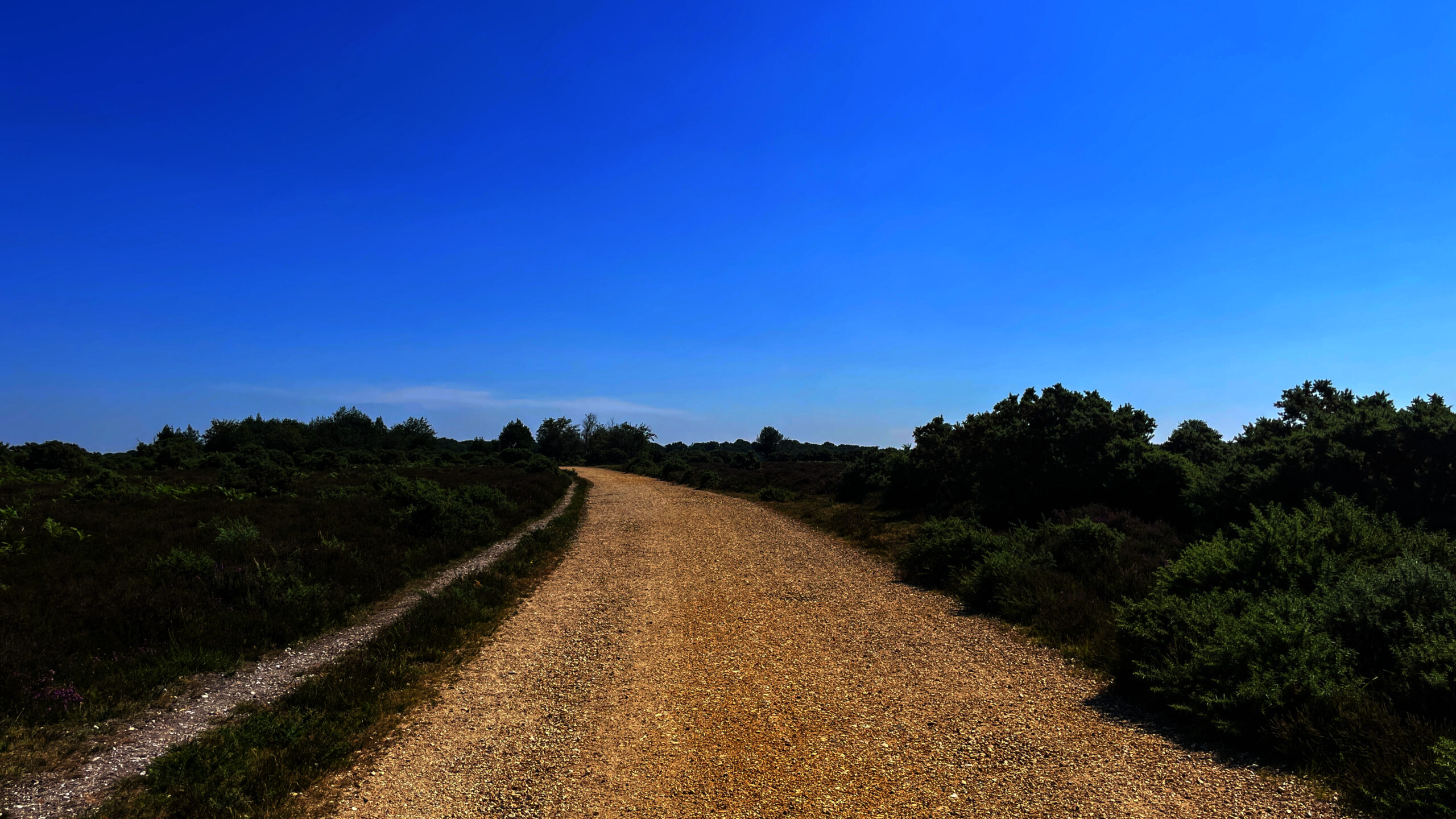
The greatest change came on reaching Fritham Plain. After the enclosed forest, the landscape suddenly opened into a broad sweep of heathland and sky. The difference was immediate and gave the walk the lift it needed.
The trees had made much of the route feel sheltered and contained, while Fritham Plain felt like the opposite. There was space to look ahead, room for the landscape to breathe and a stronger urge to continue exploring. It was easily the highlight of the walk and the part that stayed with me afterwards.
Navigation & Tech in the Field
The published route appeared in the OS Maps app as a clear red line. There were no detailed turn-by-
turn instructions, so navigation mostly involved following the visible track and checking the phone whenever a junction approached.
For most of the walk, that approach worked well. The forest tracks were broad and easy to recognise, allowing the phone to remain in my pocket rather than becoming the centre of attention. The mapping generally matched what appeared on the ground, and the app produced an off-course warning when I deliberately stepped away from the route.
The GPS became less settled beneath the densest tree cover. The position marker occasionally hesitated or rotated before deciding which direction I was facing. It never developed into a serious problem, but it was enough to make the uncertain gate feel more confusing than it otherwise might have done.
This was a useful reminder that the blue position marker should not be treated as perfect, particularly beneath a closed canopy. Looking at the shape of the paths and the general direction of travel proved more useful than waiting for the phone to make up its mind. At a critical junction, moving into a more open area may also help the device recover a more reliable position.
The screen created a different set of problems. Bright sunlight made it harder to read, and once the iPhone became warm it dimmed the display to protect itself. A digital map is considerably less helpful when the screen is doing its best impression of switching off.
Battery life was the larger concern. The OS Maps app used around 60 per cent of the phone’s charge during a walk lasting roughly two hours. It completed the route without failing, but the result did not inspire much confidence for a full day outdoors.
A power bank provided a backup, although stopping to recharge the phone is not something I would want to build into every walk. The experience raised a useful question for a future field test: how long can a smartphone genuinely run OS Maps before battery life becomes the main navigation challenge?
Skills & Takeaways
The route provided a much clearer sense of what this part of the New Forest is actually like. The name naturally suggests trees, and there were certainly plenty of them, but the walk also showed how quickly dense woodland can give way to gorse, open heathland and wider views. The main navigation lesson was to look ahead rather than waiting until the moment of arrival at a junction. A quick check of the route before reaching the important left turn would have made the gate easier to recognise. It is surprisingly easy to continue along the largest track simply because it appears to be the obvious option.
OS Maps proved dependable enough for this route, but it worked best when treated as one source of information rather than the only thing worth consulting. The tracks, gates and direction of travel still mattered, especially when the GPS became less settled beneath the trees.
The walk also confirmed that simple preparation was sufficient for the conditions. The water supply was more than adequate, the timing remained relaxed and the dry gravel tracks required no specialised equipment. Good walking shoes were still useful, particularly on loose sections and across the brief stretches of forest floor.
The practical frustration remained the parking. Downloading RingGo before travelling may save some time, but it does not solve the problem of having no signal when payment is required. It is worth considering before arrival rather than discovering the issue while standing beside the car.
On another visit, I would allow more time for the places that lay just beyond the published route. Ashley Walk deserved a longer look, while Fritham Plain created a strong temptation to continue into the open landscape rather than turning back towards the forest.
Route Verdict
The Fritham walk succeeds because it enters the New Forest almost immediately. There is no long approach or tedious opening stretch before the scenery begins. Once the parking payment has finally gone through, the tracks lead away from the car park and beneath the trees within minutes.
It is an approachable route for beginners, families and anyone looking for a relaxed couple of hours outdoors. Navigation is mostly straightforward, the gradients are gentle and the broad gravel tracks make for uncomplicated walking in dry conditions.The forest sections are lengthy, and some walkers may find them repetitive.
This is not a route that produces a completely different landscape around every corner. It is first and foremost a forest walk, with tall pines, broad tracks and plenty of time beneath the canopy.
What makes it memorable is the contrast. The brighter openings around Ashley Cross, the unexpected history of the former bombing range and the eventual arrival at Fritham Plain prevent the route from becoming nothing more than a loop through the trees.
Fritham Plain was the strongest section for me. After the enclosed forest, stepping into that wider landscape brought a real sense of discovery and made me want to find out what lay beyond the published route.
I would recommend this as a first taste of the New Forest. I am less certain that I would repeat the circuit exactly as written, but I would happily return and use it as the starting point for a longer exploration of Ashley Walk and Fritham Plain.
For years, this had been a landscape passed on the way to somewhere else. This walk finally provided a reason to stop, step beneath the trees and begin discovering what I had been missing.
0 Comments