Route Discovery
Henley-on-Thames was already a familiar place from the road. I had driven through the town many times, but until this walk I had never really stopped to explore it on foot, and I knew considerably less about the countryside immediately surrounding it.
There were two reasons for choosing Henley on this occasion. The walk formed part of my progress through the OS Short Walks Made Easy Chilterns guidebook, but I was also heading into Henley for lunch that day. Combining the two seemed an obvious opportunity: rather than making the walk a separate outing, I could use it to see a little more of an area I would already be visiting.
I wasn't setting out with a particular landmark or attraction in mind. What interested me more was seeing how Henley and the surrounding countryside fitted together. Town-based walks can sometimes feel separate from the landscape around them, so I was curious to see how quickly the streets would give way to footpaths, fields and woodland.
Preparation & Route Planning
Although I knew several of the roads leading into and out of Henley, my familiarity didn't extend much beyond that. I had a rough idea of where the walk would take me, but none of the paths themselves were familiar.
The route came directly from the guidebook. I recreated it in Garmin BaseCamp and then transferred it to the Garmin eTrex 22X, which would be my main navigation tool for the day. This wasn't intended as an equipment test, although it was another useful opportunity to put a few more kilometres on the eTrex and become more familiar with using it on an ordinary walk.
I left the route unchanged from the published version and didn't spend much time identifying individual junctions or landmarks beforehand. One consequence of using the guidebook alongside the mapping I had available on the eTrex was that I didn't have a particularly clear picture of the elevation profile in advance. I knew there would be pavements through town and expected a mixture of surfaces farther out, but I was fairly open-minded about the actual terrain.
Parking needed little preparation. Because the walk started in Henley itself and I already knew the town reasonably well, I simply planned to see which car park had space when I arrived. Mill Meadows Car Park turned out to be convenient, sitting almost directly beside the start and finish point of the route.
Trail Notes
Starting beside the Thames gives the walk an immediate sense of place. From Mill Meadows the river here is very much part of the town, with boat moorings, riverside cafés and the general activity of Henley lining the water. It is an urban side of the Thames, but an interesting one, and it makes for a more distinctive beginning than simply leaving a car park and heading straight for the countryside.
The opening section is mostly pavement. After crossing the main bridge, the route continues a short distance along the road before turning into a side street. Navigation wasn't difficult, although this was one of those occasions when walking through a built-up area required slightly more attention than following a path across open ground. With several streets and turns close together, it pays to keep an eye on exactly where the route leaves the road.
The character of the walk changes properly at a kissing gate, where the footpath begins its climb towards Remenham Wood. It is only a modest ascent, but enough to mark the transition away from town. The path continues through the rest of the wood for a few hundred metres before the trees fall away and the route emerges into open fields.
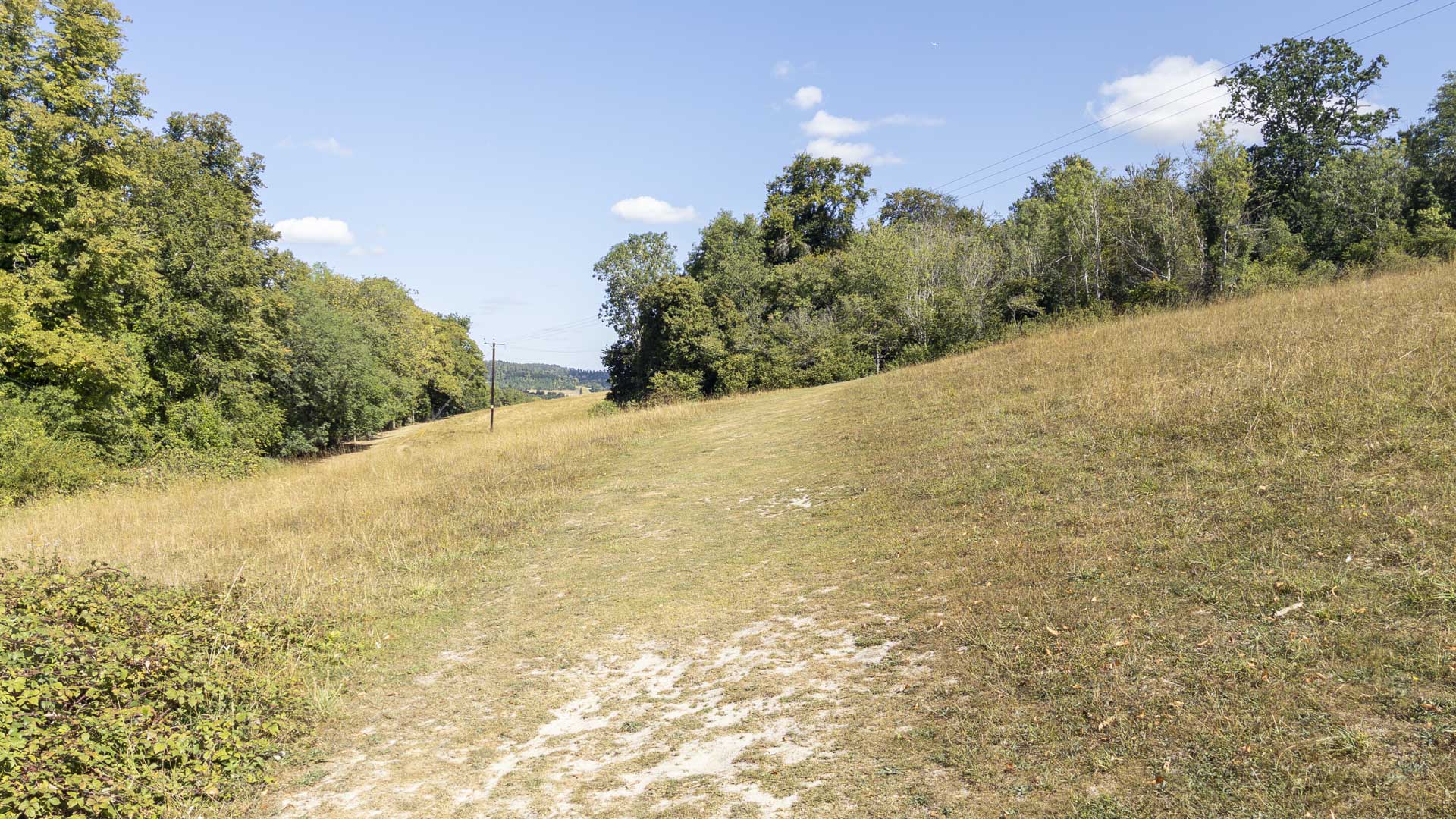
For me, this was the most memorable part of the walk. Following the Chiltern Way, the path makes a gentle climb across the field towards the brow of the hill. Because the ground ahead hides what lies beyond, there is a small sense of anticipation as you approach the crest.

The Thames itself remains largely out of sight at this point, tucked below and screened by trees, but the open ground gives views across what is effectively the river valley towards the opposite side.
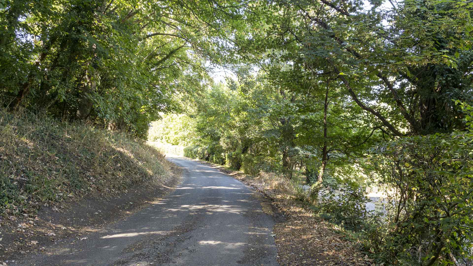
From the fields the route joins Remenham Church Lane, a quiet lane descending towards the village of Remenham. This section brings another change of character, replacing the open fields with a more enclosed rural approach before passing through the village and eventually meeting the Thames Path.
The guidebook identifies several features around this part of the route, including Fawley Court and the ornamental folly on Temple Island. Temple Island is particularly easy to miss because it sits slightly upstream from the point where the route turns left out of Remenham. If I walked the route again, I would be tempted to add a short out-and-back diversion to see it more closely. I estimate that would add roughly 500 metres in total.
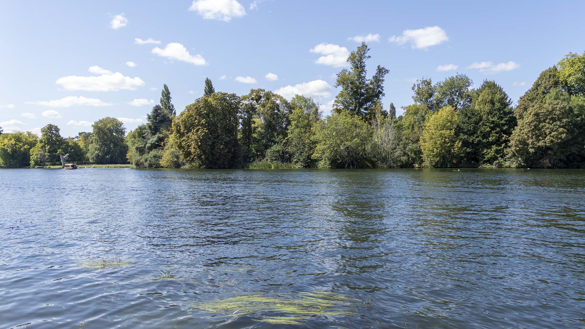
Once on the Thames Path, the route turns south for the long riverside return to Henley. This is probably the section that will stand out most for many walkers. There is around a kilometre of walking beside the river, and in good conditions there is usually something happening on the water to hold the attention, whether boats passing along the Thames or activity along its banks.
The final stretch eventually rejoins the opening part of the route, crossing the bridge again and returning through Henley towards Mill Meadows.
Navigation & Tech in the Field
The eTrex 22X handled all of the navigation for the walk. Once powered on and the route loaded, there was very little interaction required; most of the time I could simply follow the route displayed on screen. GPS positioning appeared very accurate throughout, including through the woodland and built-up sections, and I never needed to fall back on another device or map.
One useful observation was the level of path and road detail shown on the topo mapping. On this particular route I found it especially helpful around Henley, where small footpaths leave residential streets and can otherwise be easy to overlook. For this type of fine-grained navigation, I found those minor routes easier to identify on the eTrex topo display than on the OS mapping I would normally refer to.
The main irritation was physical rather than navigational. The controls cannot be locked, and it was easy to catch the thumbstick while putting the unit into a pocket. Doing so could move the map into pan or zoom mode, leaving the display no longer centred on my current position. It wasn't a serious problem, but it was enough to be noticeable during otherwise hands-off navigation.
Skills & Takeaways
I didn't come away from Henley with any major new navigation lessons, but the walk did improve my understanding of the local landscape considerably. Previously, Henley had largely been somewhere I knew from driving through it. Walking out from the town and into Remenham Wood, across the Chiltern Way and then back beside the Thames gave me a much clearer picture of how closely the town sits alongside its surrounding countryside.
It also reinforced something useful about route planning more generally. A walk doesn't need to begin at a remote lay-by or rural car park to feel like a countryside outing. Starting in a town can actually add another layer of interest, particularly when the route allows you to experience the transition from streets to woodland and fields rather than treating the urban section simply as something to get through.
The eTrex 22X continued to feel more familiar as well. There was nothing transformative about using it here, but another straightforward walk without navigation problems adds to the confidence that comes from simply spending time with a device in different surroundings.
Route Verdict
I liked this route and can easily see myself walking it again. Its main strength is variety: within a relatively short outing it moves from Henley's streets and urban Thames frontage into woodland, open fields and the quiet surroundings of Remenham before returning along the river.
There weren't any sections that felt repetitive or seemed to drag on for longer than necessary. The walk remained interesting because its surroundings changed regularly, while the modest climb into Remenham Wood was the only real ascent of note. The published distance, duration and difficulty also felt representative of the experience.
The Thames is ultimately the defining feature, particularly on the return towards Henley, but the route works because the river isn't the only thing it offers. The open-field section of the Chiltern Way was my personal highlight, while other walkers may well remember the Thames Path most strongly.
It should suit a broad range of walkers, including families and those with less walking experience, with little in the way of specialist equipment or navigation skill required. I would expect the route to remain walkable through most of the year, although the woodland and field sections are likely to become wetter and muddier during autumn and winter.
The only alteration I would make next time would be the short detour towards Temple Island. Otherwise, I would happily follow the same route in the same direction and from the same starting point.
0 Comments