Route Discovery
Some walks appeal because of a particular viewpoint or stretch of countryside, but the Tring Reservoirs route caught my attention for a slightly different reason: the combination of water and an engineered landscape. As part of the Short Walks Made Easy: Chilterns series, it offered something a little different from a straightforward countryside walk, bringing together reservoirs, canals, towpaths and locks within a relatively compact route.
It was also completely new territory for me. I had neither visited nor knowingly driven through the area before, so beyond knowing that the reservoirs were there, I was arriving with very little idea of what I would find. That suited the walk, because much of the appeal was in seeing how these clearly man-made waterways had settled into the surrounding landscape and how the locks, reservoir banks and canal system connected with the quieter countryside around them.
The reservoirs provided one side of that interest, while the waterways of the Grand Union Canal added another. Together they offered a chance to explore not only a different part of the Chilterns, but also some of the waterway and industrial heritage woven through it.
Preparation & Route Planning
Having never walked in the area before, I gave the route a reasonable amount of attention in advance, particularly because a sizeable part of it followed canals and other waterways. On a map, the relationship between canal, towpath and neighbouring footpaths needed a little care, especially where the route changed sides or temporarily moved away from the water, so I wanted a clear enough picture of the route before setting out without trying to memorise every junction.
I planned the walk using the OS Maps App, copying the published route across from the Short Walks Made Easy guidebook and intending to follow it without alteration. The guidebook also came with me as an additional reference, while Startop's End car park provided a straightforward start and finish immediately beside the reservoirs.
Beyond that, I deliberately kept my expectations fairly open. I knew there would be reservoirs, canal engineering and likely some purpose-built banks and walkways, but I was more interested in seeing how those features fitted into the wider landscape than identifying individual sights beforehand. More broadly, the walk was another opportunity to explore a different part of the UK, this time with a stronger thread of waterways and industrial history running through it.
One practical detail was worth keeping in mind from the route description. Although some of the paths around the reservoirs appeared broad and open, the guidebook highlighted much narrower sections of towpath elsewhere on the walk, so this was not necessarily going to be spacious waterside walking from beginning to end.
Trail Notes
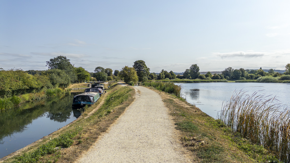
One of the strengths of this route becomes apparent almost immediately. Startops End car park sits beside the reservoir, and from there the path quickly rises onto its man-made bank, opening up views across the water within the first few minutes. There is no lengthy approach before the main character of the walk reveals itself; the reservoir is there almost as soon as you leave the car, giving the route an immediate sense of place.
From roughly the north-eastern corner of Startops End Reservoir, I followed the path around its edge, at times walking through that interesting strip of ground where the reservoir and canal landscape sit remarkably close together. Before long, the route began passing a succession of canal locks, which quickly became one of the more distinctive features of the walk. Rather than the canal feeling like a simple ribbon of water through the countryside, the locks gave it a much more functional character and served as a reminder that this was, and remains, an engineered transport system.
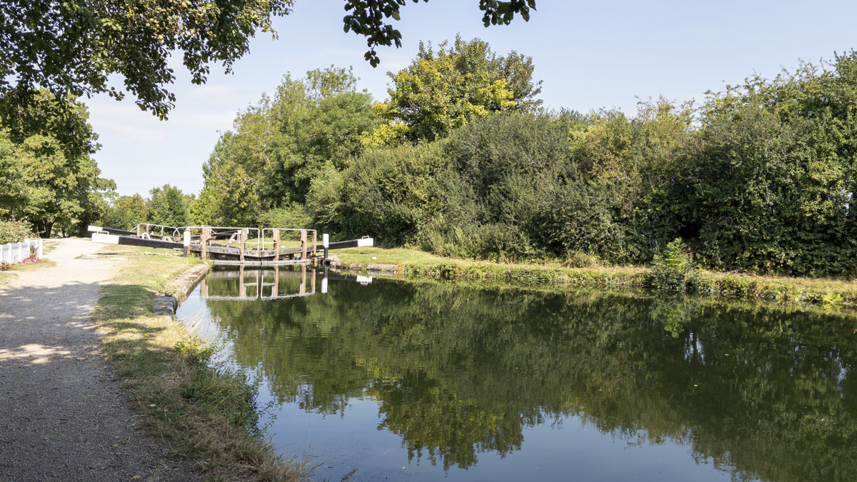
The route then reached Bulbourne Junction, where the Wendover Arm branches away from the main line of the Grand Union Canal. After crossing a footbridge, the path turned back on itself and passed underneath the same bridge, dropping onto a narrower towpath heading towards Tring. It was an interesting little transition that almost seemed to fold the route back beneath itself before continuing onwards. From here the atmosphere changed too: the waterway narrowed, the towpath felt more enclosed and the route began to snake gently through the landscape rather than following the broader reservoir edges.
One of the most memorable changes came shortly afterwards. It was only a short section, yet it gave this part of the walk real character. Walking beside the noise and activity of the mill made it much easier to imagine these waterways in a different era, when canals were working arteries surrounded by industry and movement rather than the peaceful recreational corridors they often feel like today. Even without knowing the full history of the building, that sudden transition offered a small glimpse of the more industrial side of the canal landscape.
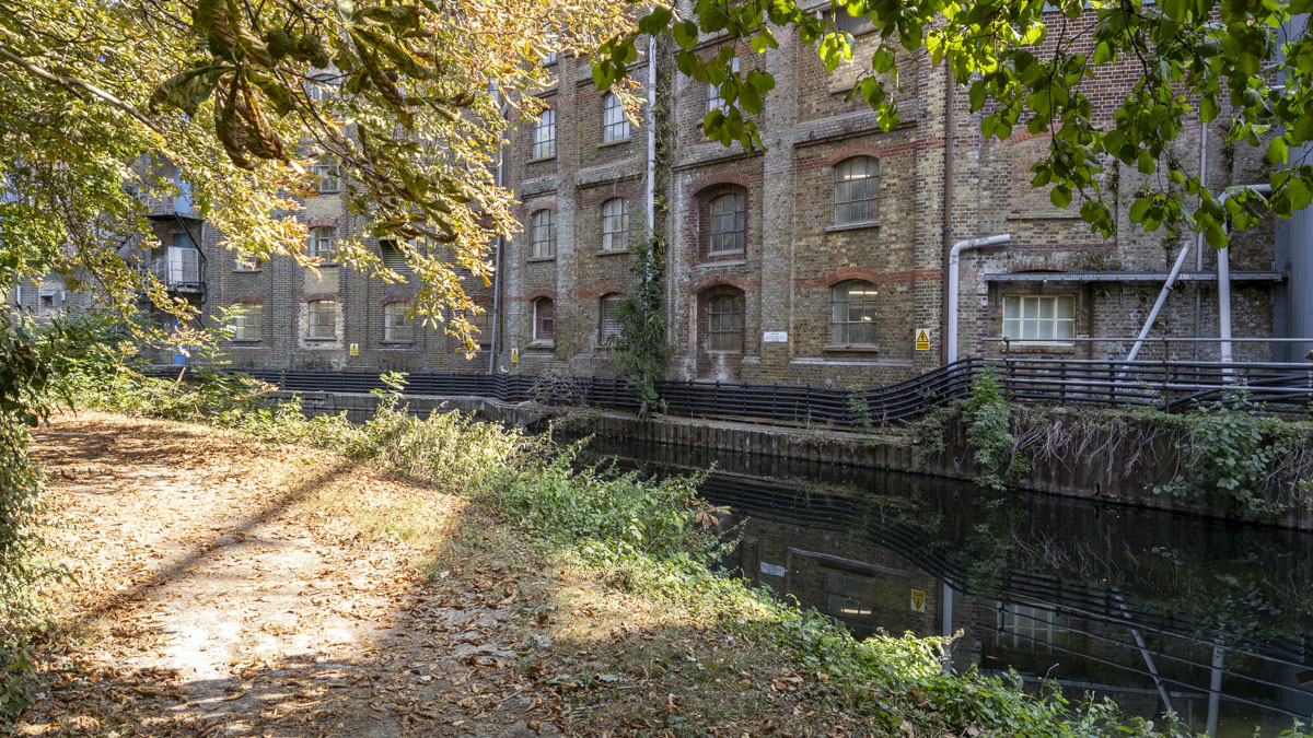
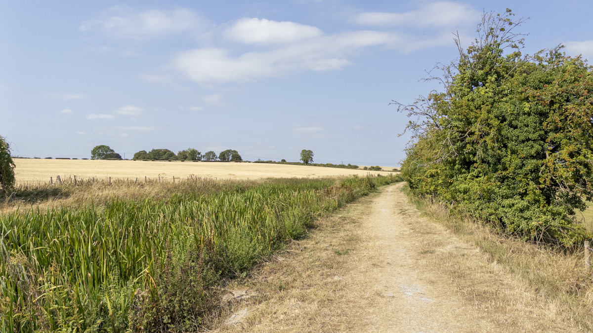
Beyond the mill, the Wendover Arm gradually opened out again and views began stretching across neighbouring fields. After the narrower canal sections, the increased sense of space was noticeable, with the water still guiding the route while the wider Chiltern countryside began to reassert itself. The towpath carried me towards Little Tring, where the route briefly left the canal for a short stretch along the edge of the road before another footpath turned away towards Tringford Reservoir.
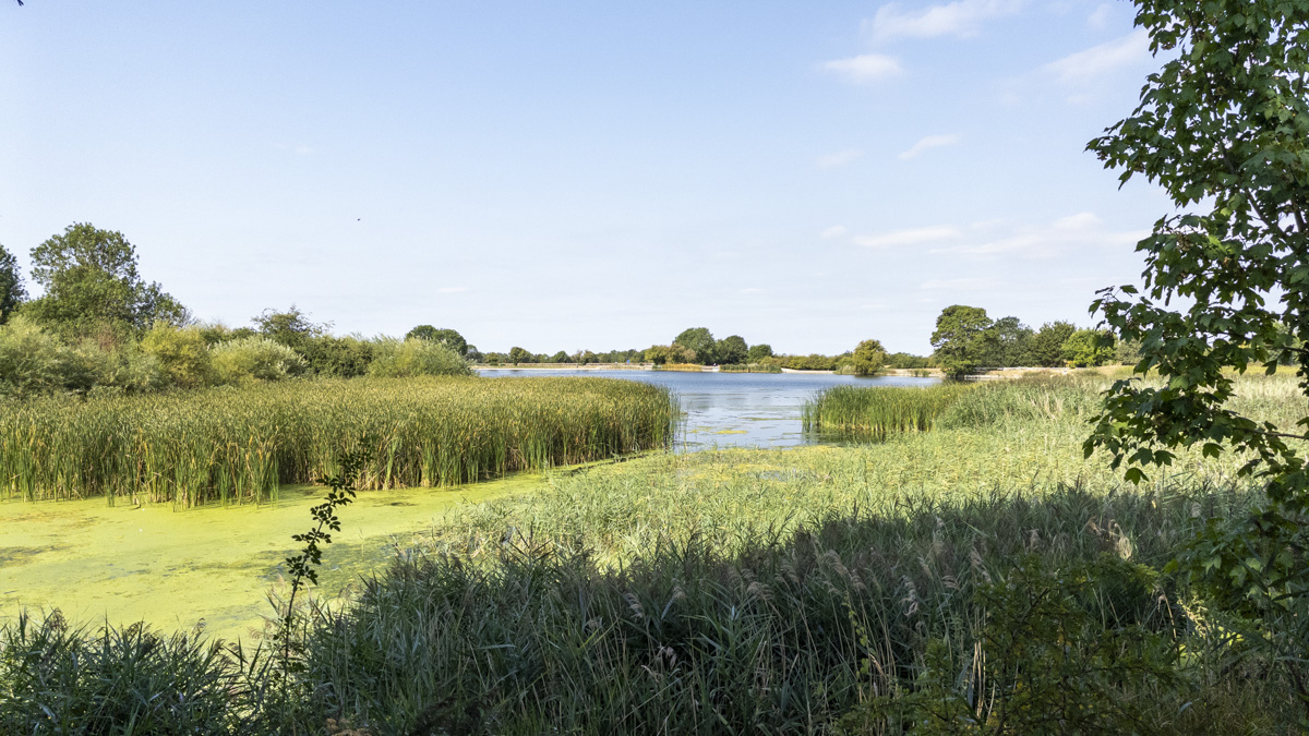
That brought another change in scenery, initially passing through a small wooded section along the reservoir edge before emerging onto a more open walkway. From there, the engineered side of Tringford Reservoir became part of the walk itself, with the bank and waterside path carrying the route onwards rather than simply providing something to look at from a distance.
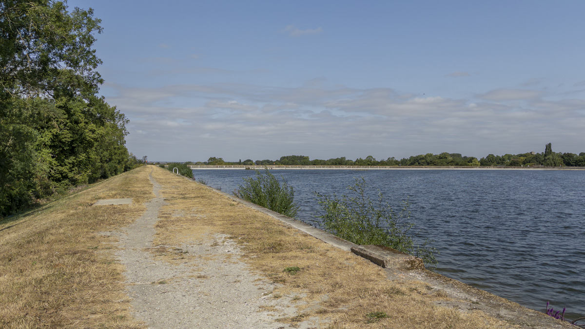
Following Tringford Reservoir eventually led to another short road crossing and returned me towards Startop's End. The final section followed the reservoir wall back towards the car park, neatly completing the loop while bringing the walk back to the type of open waterside landscape with which it had begun. It was along this stretch that one of the simplest moments became one of my favourites: there was an opportunity to sit on the edge of the reservoir wall for a while and simply look across the water, enjoying a quiet pause after the locks, narrow towpaths, noisy mill, woodland and open fields that had filled the middle of the route.
Skills & Takeaways
This wasn't a walk that produced any major revelation about navigation or walking technique; its value was much more about experiencing another type of landscape and seeing how strongly the character of the area has been shaped by human engineering. Although there is plenty of countryside along the route, the reservoirs, canals, locks, towpaths and remnants of industrial activity are inseparable from the experience, and rather than detracting from the surroundings they provide much of the walk's identity.
The route also demonstrated how varied waterside walking can be within a relatively short distance. The paths around the reservoirs can feel broad and open, while sections of canal towpath become considerably narrower, and in places passing someone coming in the opposite direction may require a little patience. The warning in the guidebook about the restricted width is therefore worth taking seriously, particularly for anyone expecting easy, spacious paths simply because so much of the route follows water.
Route Verdict
The Tring Reservoirs route works because it manages to build a surprising amount of variety around a relatively simple theme. Water remains the common thread throughout, but its character continually changes as the walk moves between three reservoirs, stretches of canal, numerous locks and the narrower Wendover Arm, with open fields, woodland and traces of industrial history filling the spaces between them.
The reservoirs themselves were probably the strongest element for me, particularly because walking along their engineered banks gives a very different perspective from simply viewing them from a road or car park. The opportunity to stop on the reservoir wall and look out across the water became one of the most enjoyable moments of the walk, while the canal sections ensured the route never felt like a repetitive circuit around a series of reservoirs.
Instead, the walk stretches away into the surrounding waterways, passes through a succession of locks and briefly brushes against the area's industrial past before gradually folding back towards Startop's End. That mixture should particularly appeal to anyone with an interest in canals, locks, reservoirs or Britain's quieter waterway and industrial heritage. It remains very much a countryside walk rather than an exercise in studying engineering, but those man-made features provide an extra layer of interest and give the route a character noticeably different from many other Chiltern walks.
I can also imagine it working particularly well as a regular local circuit. The underlying route would remain familiar, but the reservoirs, trees, fields and waterways should change noticeably through the seasons, giving enough variation to make repeat visits worthwhile. For me, that is probably its strongest quality: this is a peaceful waterside walk through a landscape that is anything but accidental, where canals and reservoirs built for practical purposes now provide the thread for an enjoyable and surprisingly varied journey through a different side of the Chilterns.
0 Comments