Route Discovery
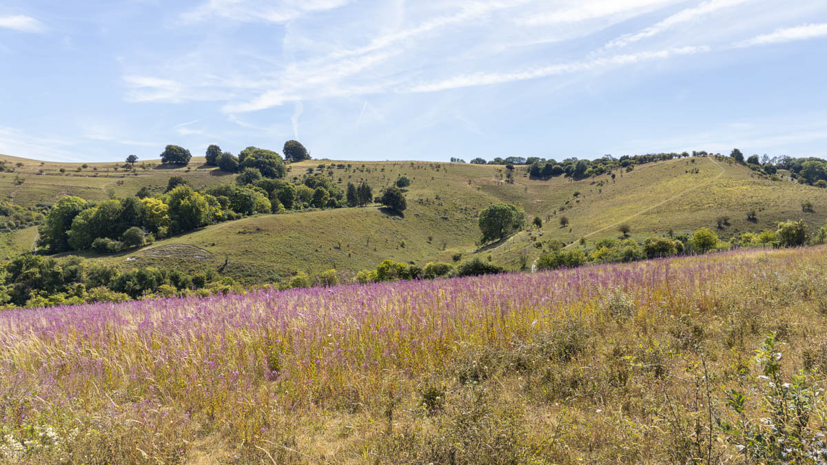
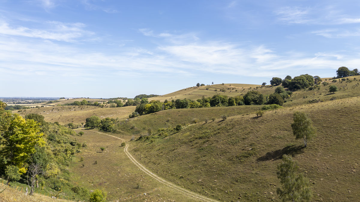
Pegstone Hills was the first walk of a full day exploring the north-eastern end of the Chilterns as part of the Short Walks Made Easy guidebook series. With a journey of around an hour and forty minutes to reach this corner of the Chilterns, I wanted to make the most of the drive by starting as far north-east as I planned to travel and then gradually working my way back south through the day and completing a number of walks. The photographs in the guidebook had already caught my attention, with rolling hills broken up by small combes cutting into the landscape and giving this part of the Chilterns a character that looked noticeably different from the areas I had explored previously.
Preparation & Route Planning
Although the walk was completely new to me, I had studied it fairly closely before setting off. Unlike some other routes in the Short Walks Made Easy series of guides, the Chilterns walks did not give me a ready-made route within the OS Maps App, so I created the route myself in the app, cross-referencing the simplified map in the guidebook against the rights of way and paths shown on the OS mapping. It required a little more care than simply loading a supplied route, but it also meant I had already spent some time looking at how the walk fitted into the surrounding landscape before arriving.
There were two particular features I had identified in advance: the trig pillar on Deacon Hill and the Pegsdon Hills Nature Reserve. Otherwise, the published route was followed without alteration. The guidebook identified parking just off Hitchin Road, which provided both the start and finish point.
Conditions had been dry for several weeks, so I expected firm and predominantly dry downland paths rather than anything particularly muddy or difficult underfoot. Daylight wasn't a concern either. This was a late-morning walk with plenty of time available for what was intended to be the first outing of the day.
Trail Notes
The landscape made an impression almost immediately. Leaving the parking area, the route passes through a small gate and straight into a field, with Deacon Hill sitting directly ahead. For roughly the first 500 metres, the path climbs gently towards the hill, giving a clear sense of where the route is heading from the outset. After passing through a further gate and taking a slight right, the path begins to climb more sharply towards the top of Deacon Hill and its trig pillar, standing at 172 metres.
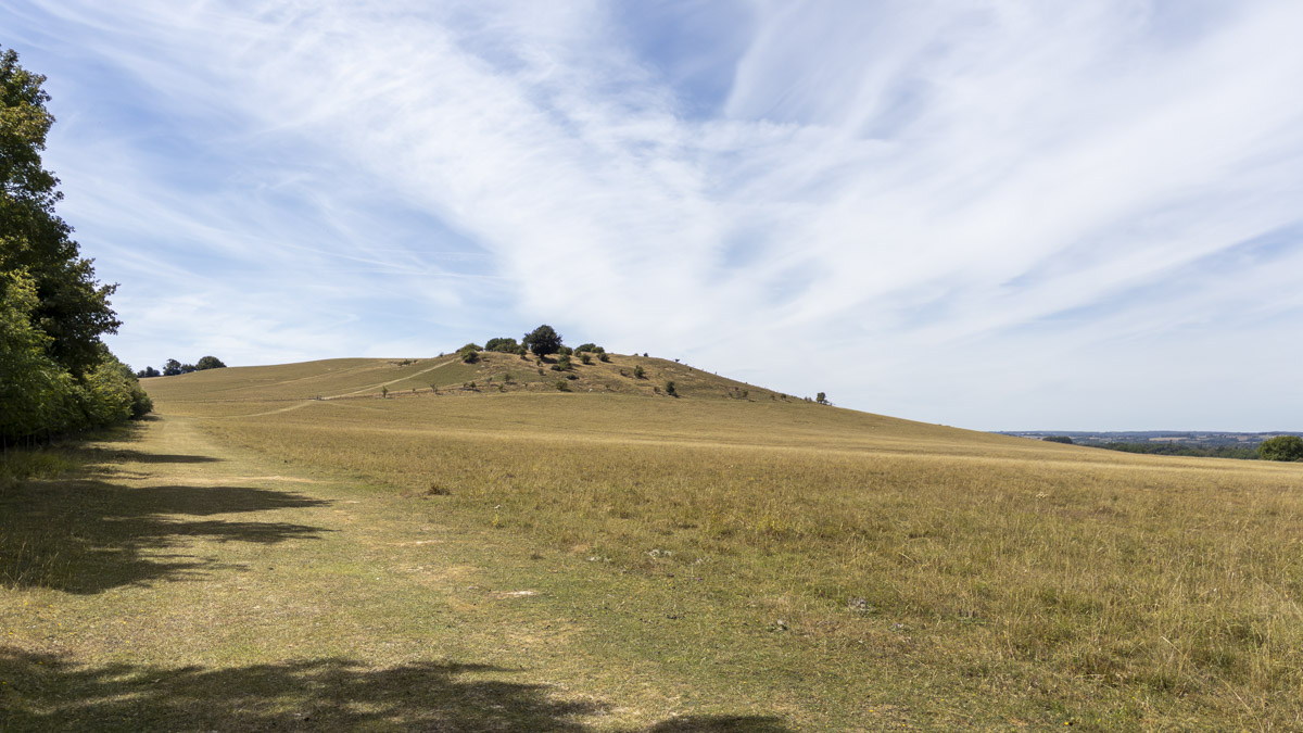
Reaching the top brought the first real opportunity to stop and take in the landscape. From the trig pillar, clear weather opened up long views to the north, stretching across the surrounding hills and towards the horizon. From here the route follows the higher ground across Deacon Hill towards Pegsdon Hills. The landscape remains open and undulating, with short, steep rises and falls along the ridge and some sections of path narrowing considerably.
One of the defining features was the shape of the chalk landscape itself. Dry valleys and strip lynchets cut across the hillsides, giving the ground a much more sculpted appearance than a simple open ridge. At one point, looking across the chalk slopes felt almost like looking into a miniature valley contained within the larger landscape. There were plenty of places along the way to simply stop and take in the scenery, whether looking across the surrounding hills or further north towards the distant horizon.
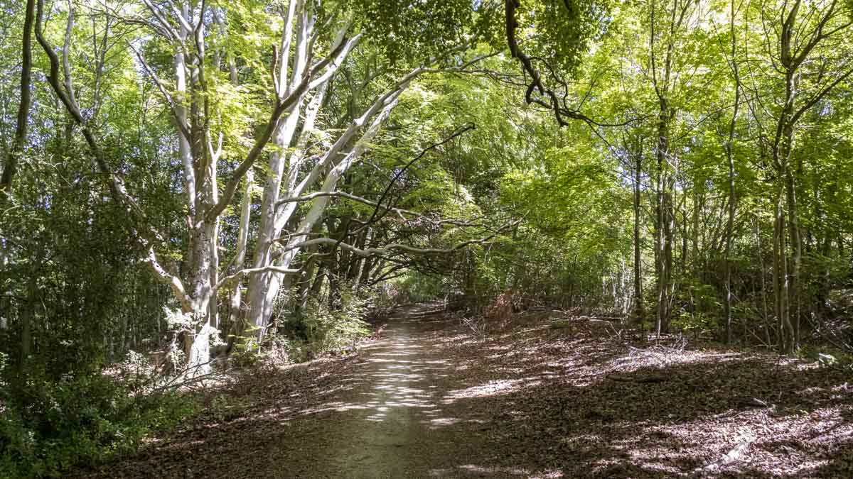
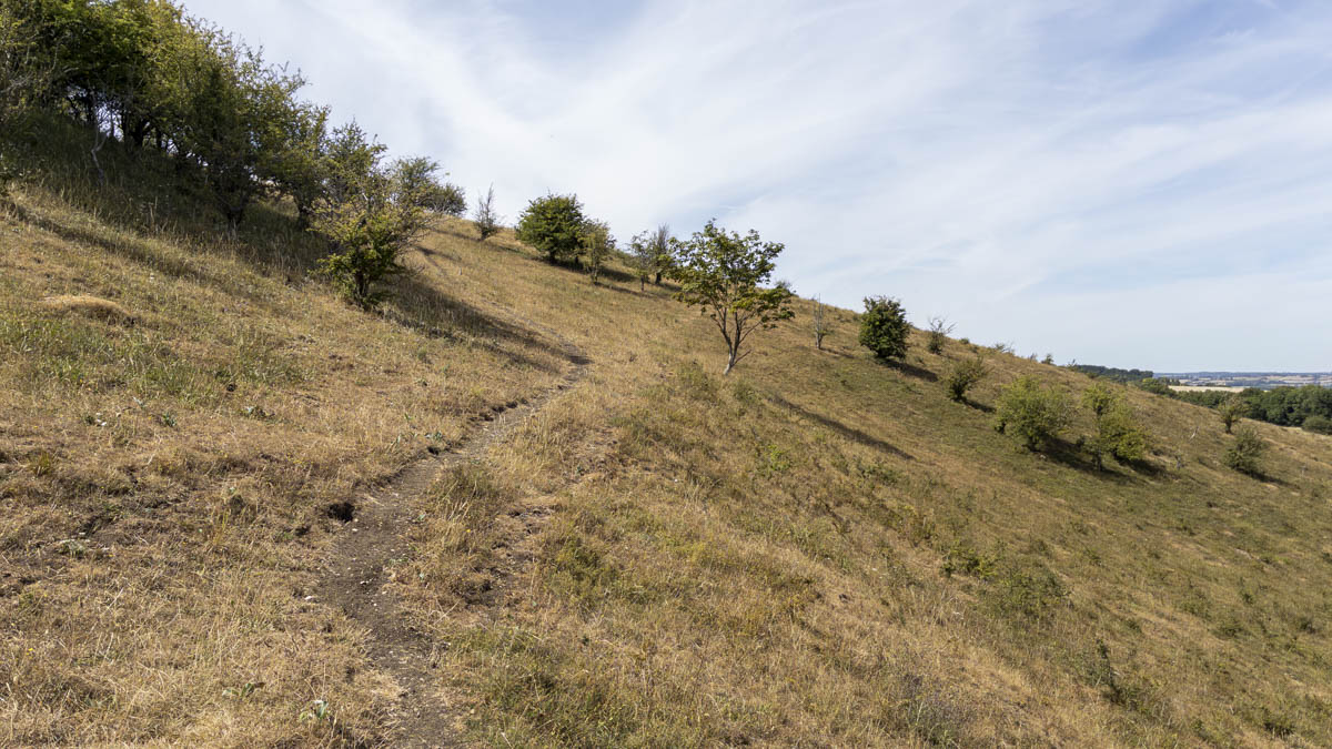
From here, the route slowly meanders downhill through the nature reserve towards Hitchin Road. On the map, this part initially appears as though it might involve walking directly along the road, but on the ground there is a separate path running alongside it, so no actual road walking was necessary. From there, the route skirts the edge of Pegsdon Hills alongside a wooded section, adding a little more enclosure after the openness of the chalk hills without ever fully leaving the open character of the landscape.
The final stage joins the Icknield Way, following it back towards the starting point. Underfoot, conditions remained exceptionally dry throughout. Most of the route consisted of downland paths and woodland or forestry tracks, with the prolonged spell of dry weather making progress straightforward.
Navigation & Tech in the Field
Navigation was handled entirely through the OS Maps App on my phone, using the route I had prepared beforehand. For most of the walk this worked without difficulty. There were, however, a couple of points where the mapping required more attention.
The first comes almost immediately after leaving the parking area. Two routes appear plausible: the smaller gate leading into the field towards Deacon Hill, which is the correct outward route, and the much more obvious Icknield Way, which forms part of the return. The guidebook does explain which path to take, so this isn't a problem if its instructions are followed carefully, but it is easy to see how somebody could instinctively choose the larger and more obvious path. The route line displayed in OS Maps is also quite thick, and where paths run close together or split it can obscure some of the underlying map detail. This was noticeable again on top of Deacon Hill, where several tracks cross the open ground and a little more attention was needed to make sure I stayed on the intended path.
Nothing resulted in a serious navigation problem, but it reinforced the need to look beyond the coloured route overlay and pay attention to the actual rights of way beneath it.
Skills & Takeaways
There wasn't a major navigation lesson or technical breakthrough from this walk. Its value was much simpler than that. This was about reaching a part of the Chilterns I had never explored before, climbing onto Deacon Hill and discovering a landscape that felt distinctly different from the areas around it.
The experience also reinforced the value of spending time building a route manually. Although recreating the guidebook walk in OS Maps required more preparation, the process meant I had already become familiar with its broad shape before setting foot on the trail. More than anything, though, the lasting impression was the landscape itself: the combination of rolling chalk hills, dry valleys, narrow ridge paths and wide views to the north.
Route Verdict
This is definitely a route I would recommend, with its greatest strength being the landscape. Deacon Hill and Pegsdon Hills have a distinctive form that makes them stand out from their surroundings, with the chalk slopes, combes and sculpted valleys giving the walk a character of its own. The climb onto Deacon Hill provides an early focal point, while the higher ground beyond keeps the route interesting with short climbs, narrow paths and broad views. The later transition alongside woodland adds enough contrast to vary the return without changing the open character of the walk too dramatically.
For me, the appeal of the walk came from getting onto the hills, taking in the surrounding landscape and exploring somewhere completely new. For anyone visiting this corner of the Chilterns, it is a distinctive piece of landscape and well worth stopping to explore.
0 Comments