Route Discovery
With a free afternoon and around four hours available, this walk was largely a matter of practicality. Christmas Common was only about half an hour's drive away, making it the easiest next route to tackle without turning a short outing into a full-day commitment. The area wasn't completely unfamiliar. A few years earlier I had visited Christmas Common to buy a Christmas tree, appropriately enough, but that had been very different from actually getting out and exploring the surrounding countryside on foot.
Beyond that, I knew very little about the place. The name itself had always held some curiosity; there can't be too many villages or hamlets with "Christmas" in their name. More than anything, though, I wanted to see what the surrounding Chilterns landscape had to offer. The original intention was simply to get out for a good walk somewhere new, although having recently bought a Garmin eTrex 22x, this also seemed like an ideal opportunity to give it a first, low-stakes outing. I would be following the published route from the Ordnance Survey Short Walks Made Easy Chilterns guidebook rather than creating a walk of my own.
Preparation & Route Planning
My familiarity with the area extended little beyond some of the local roads. I hadn't walked any of the paths before and, unusually, I hadn't spent time studying an OS Explorer map before leaving. Instead, much of my preparation centred on the eTrex 22x. Using Garmin BaseCamp on Windows, I recreated the published route over the topo mapping and transferred it to the device. This was very much a case of giving the software a quick spin rather than undertaking detailed route planning. I studied the route closely enough to recognise the shapes of the paths and reproduce them in BaseCamp, but I hadn't examined contours, picked out landmarks or identified important junctions beforehand.
The route itself was copied as published without alteration, with the planned start and finish at the National Trust car park on Watlington Hill. As I generally do with walk starting points, I had bookmarked the car park in Google Maps so I could simply get in the car and navigate directly there. For navigation, the Short Walks Made Easy guidebook came along as a backup, while the eTrex 22x, loaded with its topo maps and my newly created route, would be the primary tool. This wasn't intended as a serious test of the Garmin, simply a chance to start using it in the field.
Trail Notes
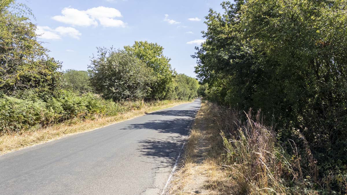
My first impression wasn't particularly encouraging. The National Trust car park at Watlington Hill sits some distance away from the main body of the walk, so leaving the car park meant turning right and following the road for roughly 500 metres towards Christmas Common. There is no pavement here. At the time of my walk the roadside grass verge was accessible enough to use, but I could imagine this being considerably less pleasant during winter or after prolonged wet weather. On a walk of only around six kilometres, it immediately struck me that at least a kilometre of the entire outing would consist of getting to and from the route along the road. Once inside Christmas Common the road became more of a quiet lane, which was more comfortable to walk, although it was still road walking rather than trail.
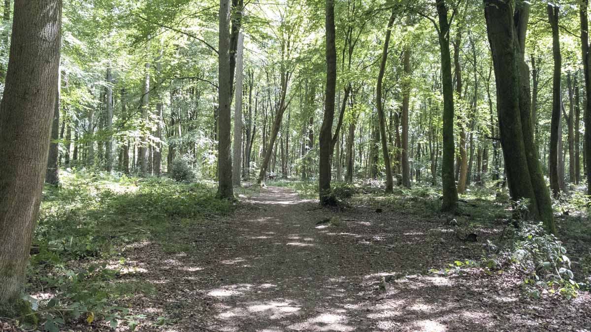
The character finally changed when a small footpath led into Queen Wood. This was my first taste of the landscape I had hoped the walk might provide, with dense woodland and proper forest trails. It was only a short passage through Queen Wood before the route turned right onto Hollandridge Lane, a restricted byway running between Queen Wood and Fire Wood. For around 1.5 kilometres the byway felt almost like a cutting between the two woods, forming a long connecting section before the route changed character again.
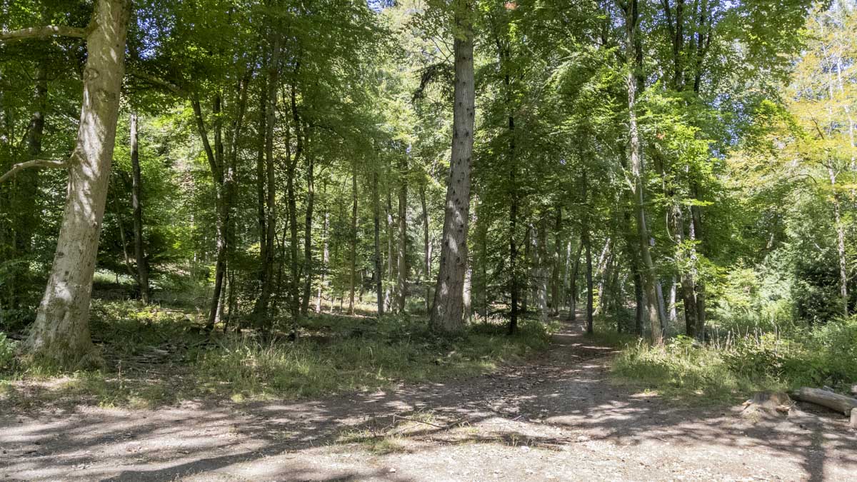
A left turn eventually brought me out onto a path crossing an open field. After the woodland, this brief stretch of open ground offered some welcome middle-distance views in a couple of directions and introduced a little more variety into the walk. From there the path descended into Fire Wood, easily the strongest section of the route for me. The woodland contained a mixture of coniferous and non-coniferous trees, with some stretches taking me deep enough into the forest that the surrounding landscape seemed to disappear entirely. In places the canopy closed overhead, giving the woodland a much more enclosed feel. The route gradually climbed through Fire Wood, although the gradient was steady enough that I barely noticed it while taking in the surroundings.
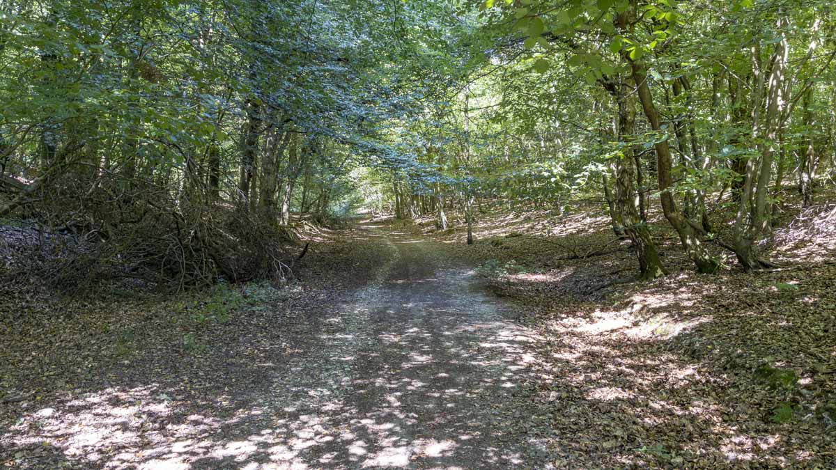
Navigation was generally straightforward, although I did miss the first left turn on the descent into Fire Wood. It was a useful reminder of how quickly a distance that appears significant on a map can pass beneath your feet. By the time I realised, I had already travelled further than expected and needed to correct myself. Otherwise the route was easy to follow and the paths were dry and straightforward underfoot. I could see the woodland sections becoming considerably muddier during wetter months, but on this occasion conditions were excellent. Fine, sunny weather helped as well, with good visibility making the woodland sections particularly pleasant.
After curving through Fire Wood the route eventually brought me back towards Queen Wood and, from there, onto the same road-based approach used at the beginning. That final section was something of an anticlimax. After the more enjoyable woodland, returning to roadside walking simply didn't compare. By the time I reached the car park, my feelings about the route were fairly mixed. Fire Wood had been enjoyable, but there had been considerably more road and lane walking than I would have chosen for such a short route. If the objective is partly to explore Christmas Common itself, that balance perhaps makes more sense. As a countryside walk, though, I was left wanting more of the surrounding landscape and less tarmac.
Navigation & Tech in the Field
This was also my first practical outing with the Garmin eTrex 22x. The route created in BaseCamp displayed clearly enough on the topo map and the device maintained an accurate GPS position fix throughout the walk, including under the woodland cover. Roads and footpaths encountered on the ground were represented on the map and I didn't notice any problems with satellite reception.
The main frustration was map movement. As my position marker approached the edge of the display, I found myself using the thumb stick to pan across to the next section of the route, with the next part of the map sometimes taking a few seconds to redraw. It is far too early to decide whether this is a limitation of the unit or simply something I caused by putting the map into a manual panning mode. Either way, it gave me my first practical question to investigate before the next outing.
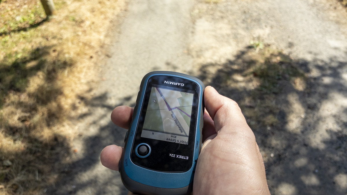
Beyond that, the eTrex performed well for what I was asking of it: displaying a GPX route and allowing me to follow it in the field. Battery performance presented no concerns on such a short walk, and I didn't find the controls or screen difficult to use. This wasn't a focused equipment test, just a brief trial run, and there will be plenty of opportunity to explore the device in more depth on future walks.
Skills & Takeaways
The biggest lesson from the route itself concerned road walking. Road sections are sometimes unavoidable, but this walk reminded me how much influence they can have on the overall character of a short route. When the distance is only around six kilometres, spending a significant proportion of it on roads or lanes becomes particularly noticeable. It is something I would consider more carefully when assessing future routes, especially where the road walking exists mainly because of the chosen parking location. The outing also gave me a slightly better sense of the geography around Christmas Common, although I came away feeling that the published route could have explored a broader slice of the surrounding countryside.
My other takeaway came from the eTrex. You can read manuals and watch plenty of videos about a new device, but there comes a point where the only useful next step is to take it outside and start using it. Practical questions appear almost immediately, and understanding develops much faster once the device is in your hand and being used for its intended purpose. There is an obvious caveat to that: a difficult walk in poor weather probably isn't the ideal place to discover how unfamiliar navigation equipment works for the first time. For a gentle afternoon route like this one, though, it was a useful introduction.
Route Verdict
This wasn't a route I particularly connected with. There is variety in the middle of the walk, with the quiet lanes of Christmas Common giving way to woodland tracks, an open field providing a brief change of perspective, and Fire Wood offering the strongest scenery and atmosphere of the route. The route was easy to follow, and its distance and difficulty felt as expected. The woodland itself was straightforward underfoot in dry conditions, although winter would likely bring more mud. The roadside portions are more of a consideration, particularly for families or walkers with limited mobility.
I wouldn't walk the published route again, and I would struggle to recommend it purely as a destination walk. There may, however, be a better way to think about it. Christmas Common itself forms part of the experience, and the local pub provides the possibility of combining the area with a pub stop. Viewed as a short walk to stretch the legs after lunch, with Fire Wood supplying the most enjoyable section rather than as a standalone countryside outing, the route begins to make more sense.
For me, though, the lasting impression was that there is probably a better walk to be created here, one that makes greater use of the surrounding woodland and countryside.
0 Comments