This walk offered an opportunity to explore a new corner of the New Forest, linking the village of Beaulieu with Buckler’s Hard, the historic shipbuilding settlement on the banks of the Beaulieu River.
Two things particularly interested me before setting out: exploring Buckler’s Hard itself and seeing how the landscape unfolded along the river. Looking at the map, the route appeared to weave through open ground and small areas of woodland, with opportunities to explore the nature reserves bordering the estuary.
Preparation and Route Planning
The route follows an out-and-back format, starting and finishing at Beaulieu Car Park. I used the online route in the OS Maps app to familiarise myself with its general direction, paying particular attention to the couple of optional paths along the way. The route was bookmarked in the app, which also downloaded the map for offline use, and I carried the guidebook as a backup.
Beyond that, preparation was fairly straightforward. The route was followed exactly as published, without any planned changes, and there were no particular access restrictions or other logistical considerations that affected the day. The main things I was looking forward to were Buckler’s Hard and the chance to experience the landscape around the Beaulieu River.
Trail Notes
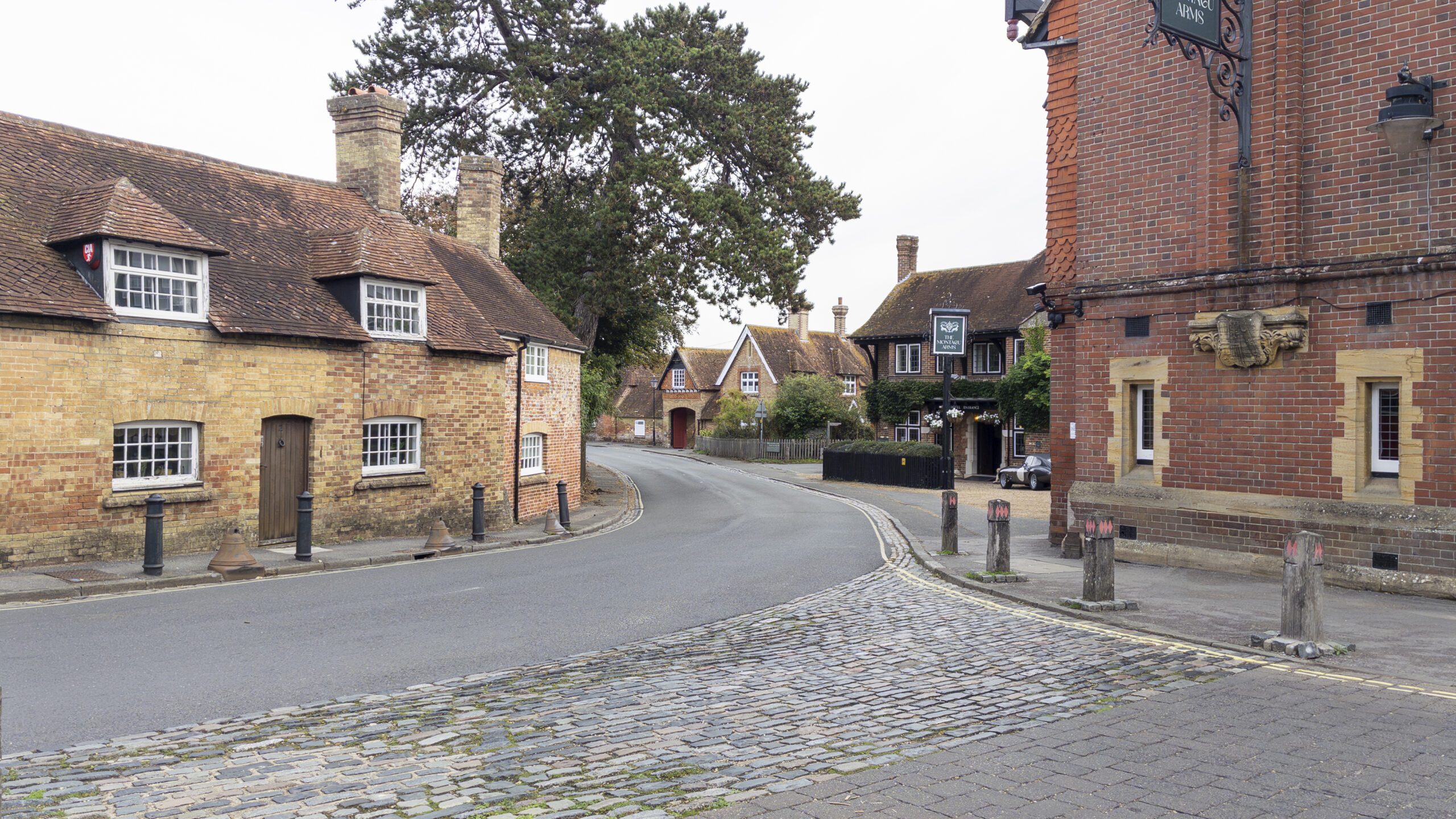
The walk begins at Beaulieu Car Park before leading out onto the main road and into the village. This makes for a pleasant starting point, with Beaulieu itself offering an opportunity to stop for a coffee or something to eat either before setting off or on returning from the walk. It is worth paying attention here, as the village turns come up relatively quickly. The route leaves the main road along Fire Station Lane, passing the fire station before joining the Solent Way. It would be easy to continue straight towards Mill Dam and find yourself on the wrong side of the river, so this initial section requires a little more concentration than the walking that follows.
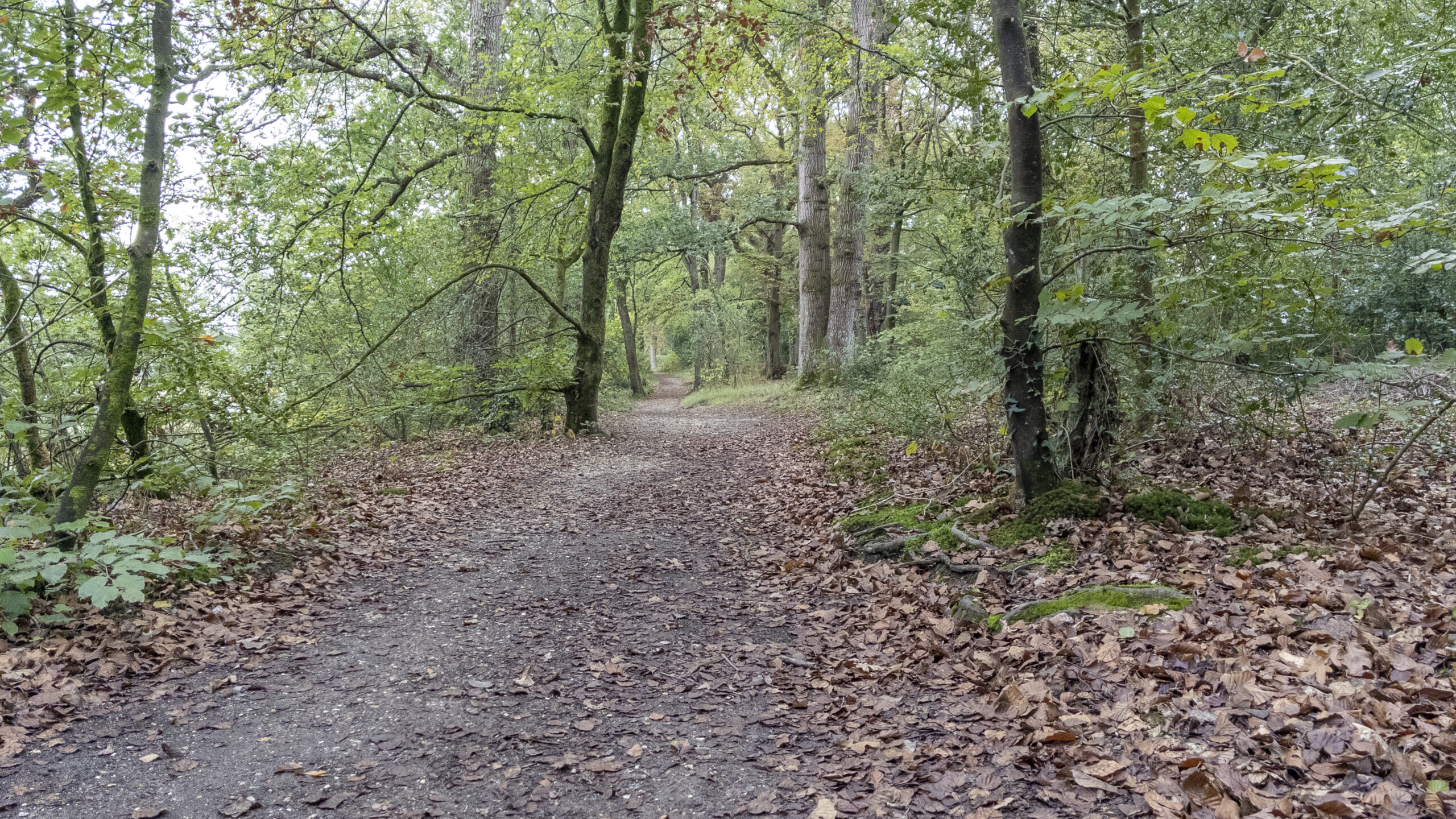
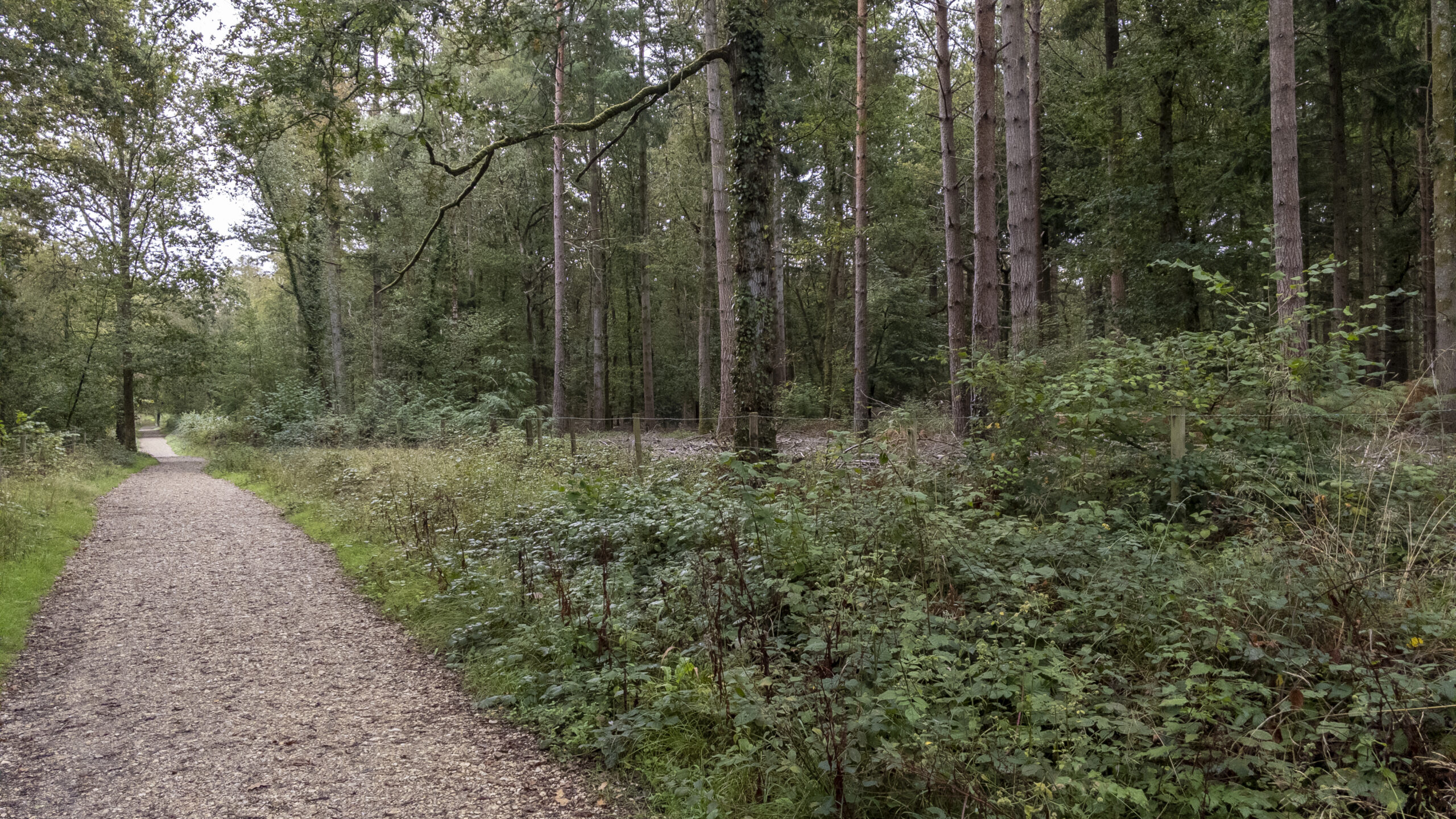
Once on the Solent Way, the character of the route becomes more straightforward. A wide, compacted gravel track provides a comfortable start, continuing for some distance with a couple of gates along the way. The path is generally level, and there are stretches where you can see the track extending ahead for a considerable distance. The first noticeable change comes at Jarvis’s Copse, an area of ancient woodland, where the track narrows, descends and then climbs again shortly afterwards. There is an information display here that is worth taking the time to read, providing some context for the woodland before the route continues into Keeping Copse, where the surrounding trees offer a sense of enclosure ahead of the more open estuary landscape.
It is around Keeping Copse that some of the most interesting opportunities to explore away from the main path begin to appear. One of the first optional paths leads into the North Solent National Nature Reserve, bringing you closer to the mudflats and saltmarshes of the Beaulieu River estuary. Rather than making steady progress towards Buckler’s Hard, these paths provide an opportunity to pause, look across the estuary and enjoy the sounds of the natural environment. Rejoining the main path, there is another opportunity to explore the reserve, with information boards describing the local habitats and wildlife. Plenty of waterbirds could be seen across the mudflats and estuary during a visit, making these optional paths particularly worthwhile.
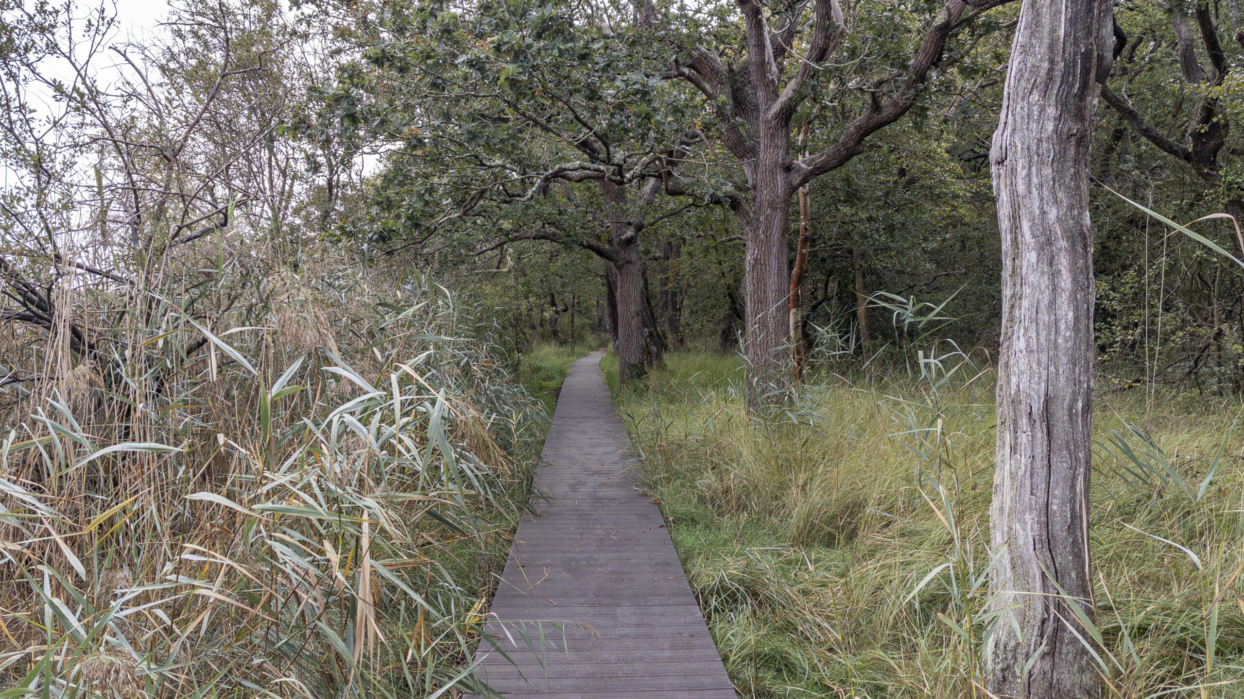
For anyone wanting to explore a little further, a boardwalk leads through the marshy landscape towards Keeping Marsh Birdwatching Hide. The raised walkway provides a change of scene and an opportunity to slow down, taking in the surroundings rather than simply following the main route. For me, these nature reserve sections were the highlight of the walk. The landscape itself remained fairly consistent throughout much of the route, but the optional paths offered a closer experience of the estuary, with glimpses of the water and birdlife across the mudflats adding interest
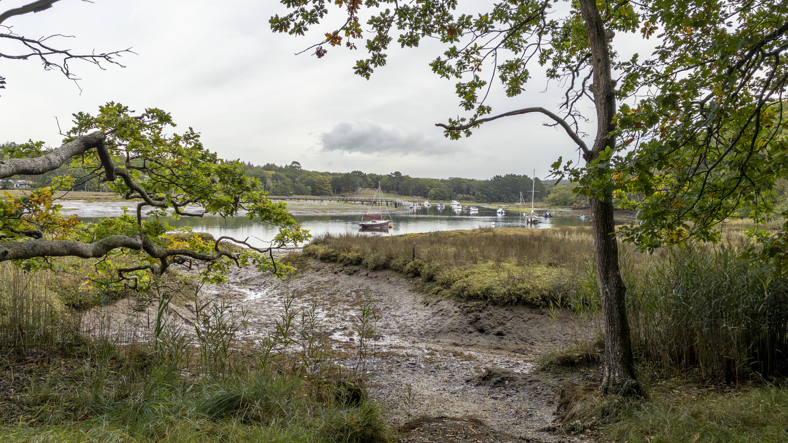
Leaving the nature reserve sections behind, the route passes through the Agamemnon Boat Yard before reaching Buckler’s Hard. Arriving at the historic settlement gives the outward leg a clear sense of purpose, and it is a fascinating place to explore, with its collection of small buildings and historic village reflecting its past as a shipbuilding settlement. There is plenty to look around, and I would recommend setting aside around half an hour to explore before turning around to retrace the route to Beaulieu. The views of the estuary also open out more fully here. Earlier in the walk, the water had appeared in glimpses through the nature reserve landscape; at Buckler’s Hard, the setting becomes more apparent, providing a fitting destination after following the paths through the surrounding countryside.
The return journey follows much the same route back to Beaulieu. There is no need to take every optional path through the nature reserves again, as the main path provides a more direct way back, although the reserve sections are worth considering again if time allows. The walk eventually returns to the village and its pavements, bringing the route to a close at Beaulieu Car Park. Overall, the walking is predominantly on compacted gravel, with relatively little change in elevation. Once out of the village, the route is straightforward, and the signposts towards Buckler’s Hard and back to Beaulieu provide useful reassurance along the way.
Route Verdict
What I particularly like about this route is the way it links two distinctive places in the New Forest: Beaulieu village and the historic settlement of Buckler’s Hard. They each have their own character, and the walk provides a pleasant way to experience both within the same outing.
The optional paths into the nature reserves are what make the route more than a straight walk between the two. Although the main path is relatively direct, the opportunities to explore the estuary, observe the waterbirds and follow the boardwalk through the marshy landscape add interest along the way. These sections were my personal highlight, while Buckler’s Hard provided a worthwhile destination with plenty to explore.
The route is generally level and easy to follow, making it a good option for less-experienced walkers and families looking for a relaxed day outdoors. The main point to watch is the navigation through Beaulieu at the beginning, where the turns come up quickly and it is easy to miss Fire Station Lane. Beyond that, the route is clearly signposted and presents few difficulties.
The predominantly compacted gravel tracks also make this a walk that I would consider throughout the year. I would happily recommend it to others, and it is one I would return to, particularly to experience the estuary again during the summer.
0 Comments