Route Discovery
Burley was the first walk of another full day exploring the New Forest. With the journey south already taking a reasonable amount of time, the aim was to make the most of the day by completing several routes from the OS Short Walks Made Easy: New Forest guidebook. There was also a little unfinished business attached to this one. I had tried to complete the Burley walk a couple of months earlier, only to arrive on the same day as the Burley Show. The village was extremely busy and finding somewhere to park proved difficult enough that I eventually abandoned the attempt and left it for another visit.
Looking at the route in the guidebook, I had expected it to be quite heavily centred around Burley itself. The line appears to skirt the outer edges of the village and neighbouring Burley Street, so I assumed there would be a fairly strong residential element. That turned out to be true to an extent, but the route incorporated considerably more woodland and open New Forest landscape than I had expected.
Preparation & Route Planning
I didn't know Burley or the surrounding area at all, so there was little existing familiarity to draw on. The route came directly from the guidebook, and before travelling down I bookmarked it in the OS Maps app so it was ready to open when I arrived.
I also had an A4 printout of the OS map covering the area, but while reviewing the route there was one section where I couldn't quite make out the detail clearly enough on paper. This was a good example of where the digital version comes into its own: being able to zoom much further into the mapping made it easier to inspect that particular section before setting out.
Preparation beyond that was deliberately light. OS Maps would provide the main navigation reference, while the physical guidebook and A4 printout coming along as a backup. There was no particular navigation exercise or equipment test planned for the walk; the objective was simply to follow the published route and explore another part of the New Forest.
Trail Notes
The walk begins at Burley Car Park, placing the starting point almost immediately in the centre of the village. It gives the route quite a different opening to one beginning beside a forest track or out on the heath, with the first few minutes passing shops and cafés rather than heading directly into the countryside. That also makes the centre of Burley a useful part of the route rather than simply somewhere to park. Most of the obvious places for a coffee or something to eat are concentrated around this area, so there is the option of stopping before setting out or leaving it until the end when the route brings you back to almost the same spot.
From the centre, the walk heads along Pound Lane. This remains residential, with a couple more cafés scattered along the road, but a pavement set back from the road makes for a relaxed start. The character changes after a slight right onto a broad gravel track, also marked as a traffic-free cycle route. A gentle climb follows and soon gives the impression of walking along a shallow ridge, with a light canopy of trees overhead, open New Forest Moor on one side and some private properties on the other.
A little farther along, the trees begin to thin and the views open across Church Moor and Cranes Moor. From around Burley Beacon the visibility was particularly good and, looking out across the landscape, I could pick out Bournemouth in the distance. It was easily one of the most memorable viewpoints of the walk.
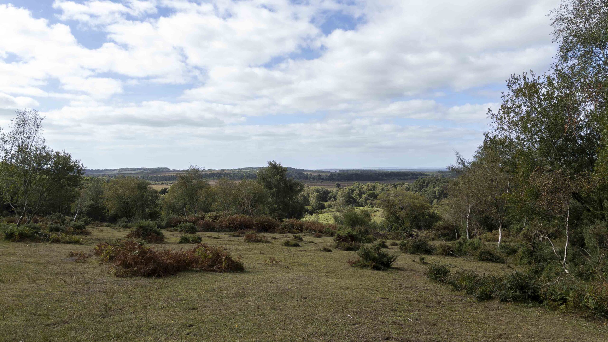
The gravel track then continues for roughly another kilometre before emerging into the hamlet of Burley Street, where there is a brief return to pavement as the route passes through, crosses the road and turns onto Forest Road.
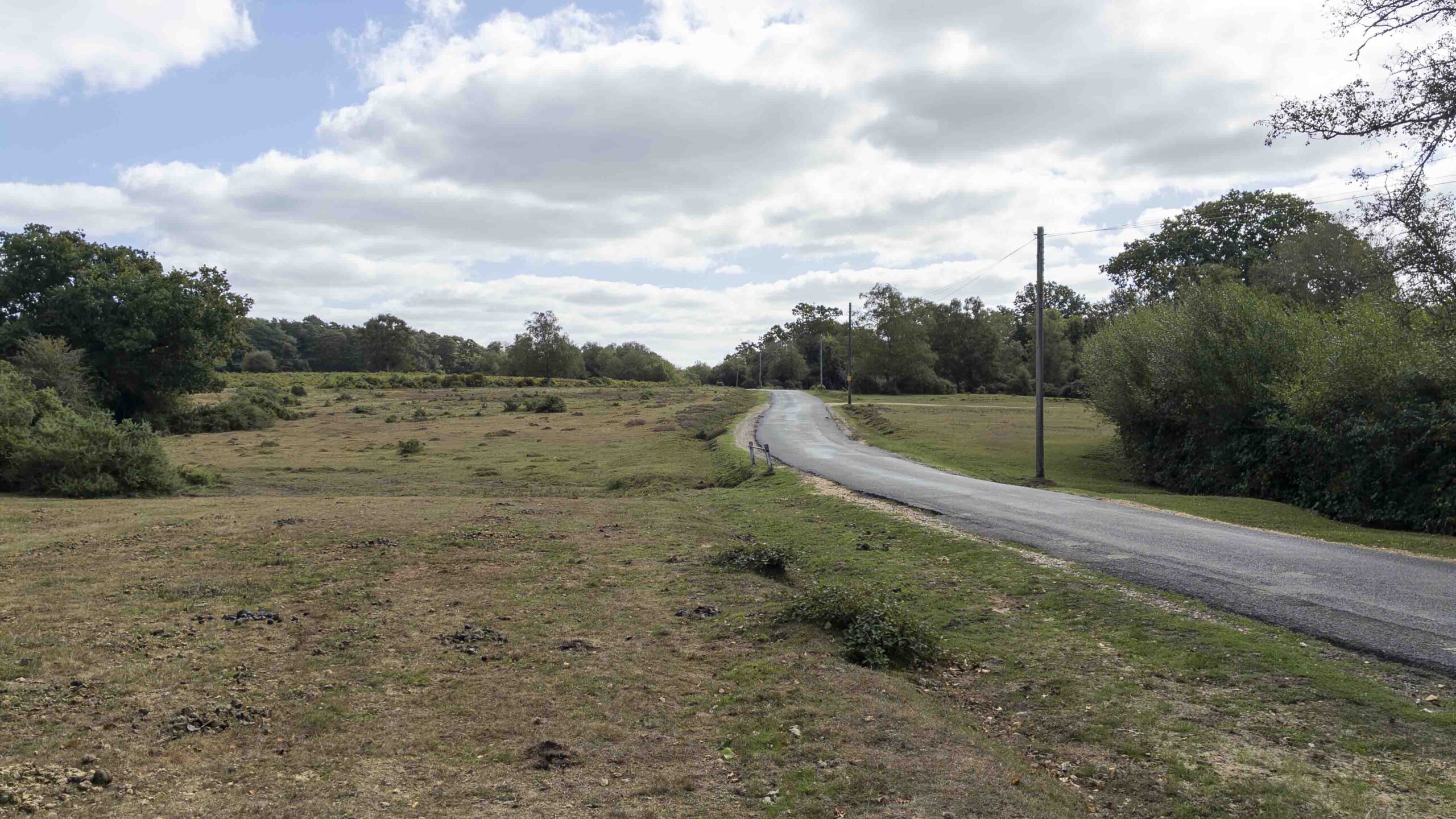
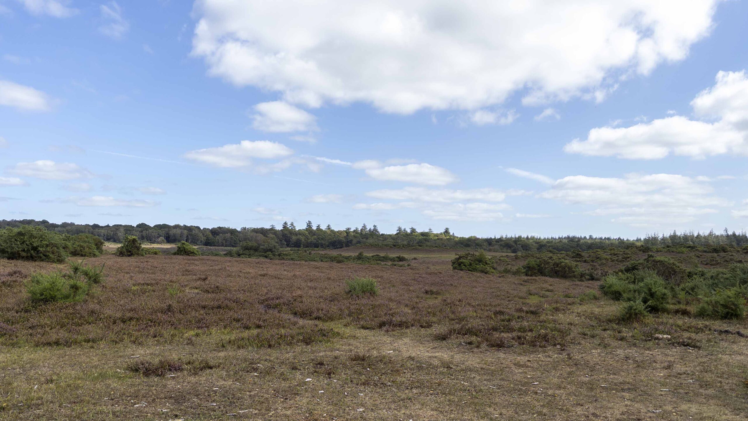
This was the section that changed my impression of the route most. From the guidebook map I had expected the second half to remain fairly close to roads and houses, but Forest Road gradually opens onto Burley Moor and brings the surrounding New Forest landscape back into view. Although the mapped route follows the road, the grass along the edge of the moor provided a much more appealing alternative to staying on the tarmac. I was able to move away from the roadside in places and walk across the grass instead, with a couple of natural vantage points providing an excuse to stop and look out across the moor.
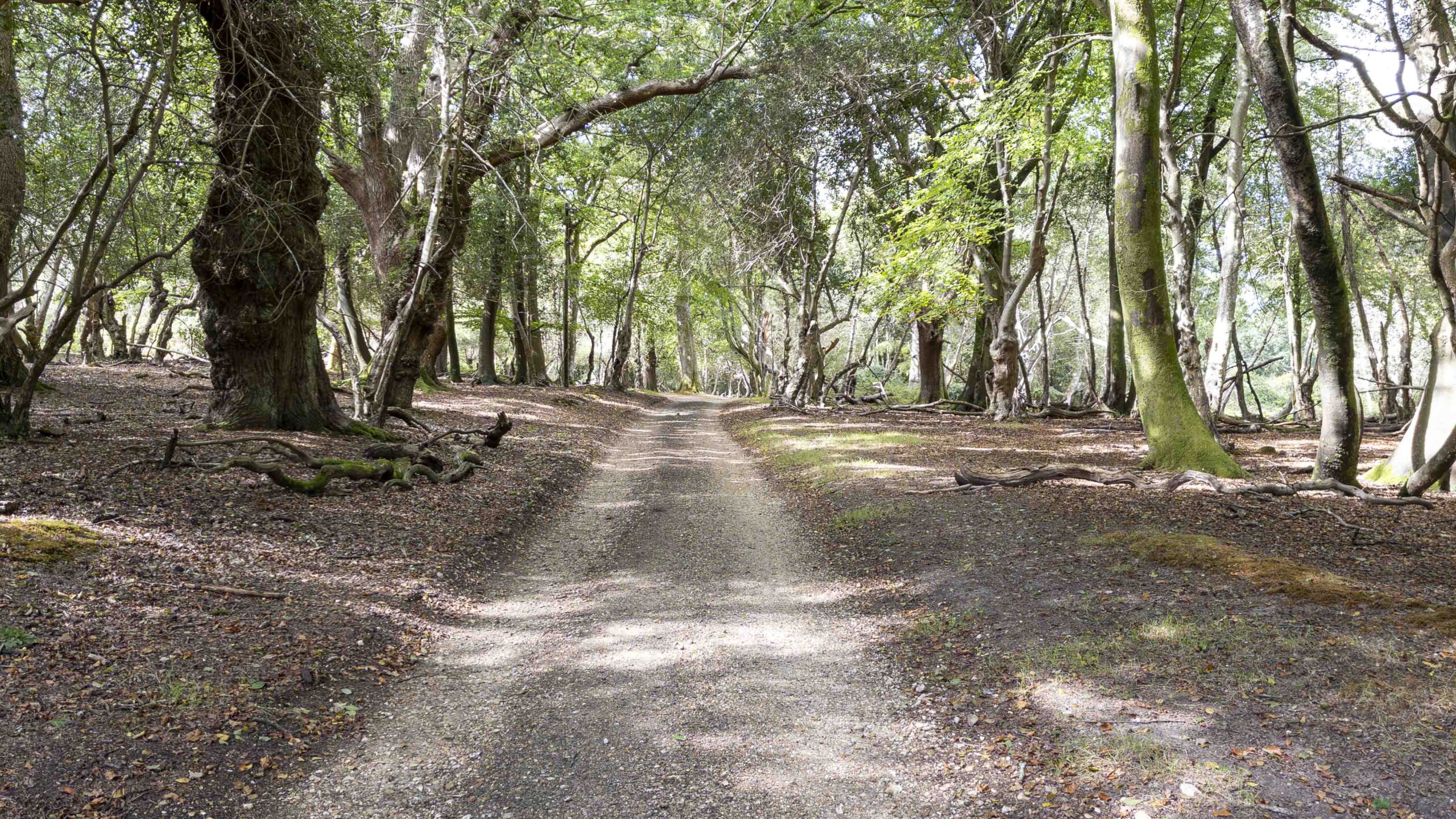
Leaving Burley Moor brings the route back onto the lanes for a short section. This was probably my least favourite part of the walk, simply because there was more need to remain aware of passing traffic, but it was relatively brief and didn't come to dominate the experience. A left turn soon brought me away from the road again and back into quieter surroundings, with the final 500 metres or so following a woodland path before emerging onto Chapel Lane. From there it was only a short distance back into Burley and the car park.
Skills & Takeaways
One thing this walk did reinforce was something I am beginning to notice on routes around the more residential parts of the New Forest. Public footpaths can sometimes be relatively sparse, leaving quiet lanes as the only practical way of connecting one section of a route with another. If I were looking to modify the Burley route, I would probably investigate whether any of the laneside sections could be avoided. In this case, however, there appear to be few obvious alternatives, and the road walking is limited enough that it never became a major drawback.
The other practical point is Burley itself. With most of the cafés and places to stop concentrated around the village centre, it makes sense to plan any coffee or food stop around the beginning or end of the walk rather than expecting to find much farther around the route.
Route Verdict
I enjoyed this route, and probably more than I expected to when first looking at it in the guidebook. On the map it appears to be a walk that largely circles Burley and Burley Street, but on the ground there is enough woodland, open moor and changing scenery to give it a much broader New Forest character. The stretch around Burley Beacon was the highlight for me, particularly with the clear views across Church Moor and Cranes Moor and as far as Bournemouth. Burley Moor provided another enjoyable change of scene later in the walk, while the woodland sections helped break up the more residential parts of the circuit.
There is some lane walking, but not enough to define the route. Instead, what stayed with me was the variety. Village streets give way to gravel tracks, light woodland and open views before the walk reaches Burley Street, Burley Moor and eventually loops back through the trees towards the village. I would certainly walk it again, although next time I would probably allow a little more time either before or after the route to explore Burley itself and stop at one of the cafés. For a relatively short walk based around one of the New Forest's busier villages, it offered considerably more variety than I had expected.
0 Comments